• Weekly avalanche conditions report
    Weekly Episode

    Avalanche Conditions Report

    Weekly snowpack summary covering Rogers Pass, the Selkirks and the Canadian Rockies. Published every Friday throughout the season.

    Listen Now →

    Weekly avalanche & safety updates throughout the season

  • BSC Guide Books
    Proprietary Content

    BSC Guide Books & Maps

    Researched and written by our team. Printed guides and georeferenced digital maps for Canada's best backcountry terrain.

    Shop the Store →

    Printed guides + georeferenced digital maps — all authored by BSC

  • BSC Membership

    Access 300+
    Full Routes

    Subscribe to Backcountry Skiing Canada and unlock complete route descriptions, trailhead details, approach beta, seasonal conditions and linked digital maps — for every route we've documented across Western Canada.

    • 300+ full route descriptions with trailheads, approach notes and descent options
    • Georeferenced digital maps — Gaia GPS and CalTopo compatible
    • ATES-rated and updated each season with current conditions beta
    • Support independent backcountry skiing content since 2009
    Subscribe to BSC Browse free content →

    Route details also available in BSC printed guidebooks

  • Know Before You Go

    Check Today's Forecast

    Real-time avalanche danger ratings updated daily by Avalanche Canada. Always check before heading out.

    View Forecast →

    Avalanche awareness saves lives

  • Know Before You Go

    Check Today's Forecast

    Real-time avalanche danger ratings updated daily by Avalanche Canada. Always check before heading out.

    View Forecast →

    240+ videos — gear reviews, conditions reports & backcountry edits

Not much to say abou the skiing, but here's the bike trail report for Pemberton

  • 2013-12-17 11:47:00

    With only an 85cm base (thanks in part to snow making) on Whistler Blackcomb, and spotty coverage in the backcountry, we might as well go – biking?

    Typically we have about 500cm of snow by now and winter is well under way, but this year I'm still riding my mountain bike. Trails around Pemberton are snow free on the south facing slopes. There is a tiny bit of snow at the first paraglide launch, but you could easily ride all the way up Happy/Waco/Nimby to the launch and have your pick of totally deserted trails to choose from.

    Pretty much everything in the lower Mackenzie FSR area is snow free for both hiking and biking. You can drive up the Mackenzie FSR all the way to the gate between first + second paraglide launches with 4WD and really good tires, as it's a bit icy in spots. After the gate it's extremely icy – I definitely wouldn't want my truck up there past that point.

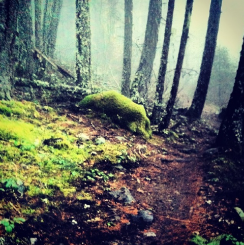
    I wish I had snowy pow pictures to post, but (sigh) here are a few snaps of the area from the last few days. This first one is a little ways up the Nimby.
    emily haggar

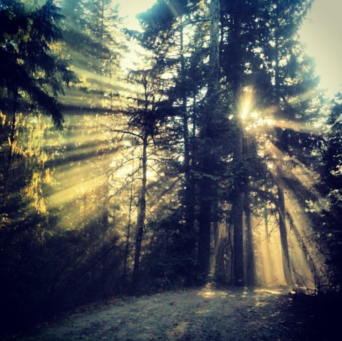
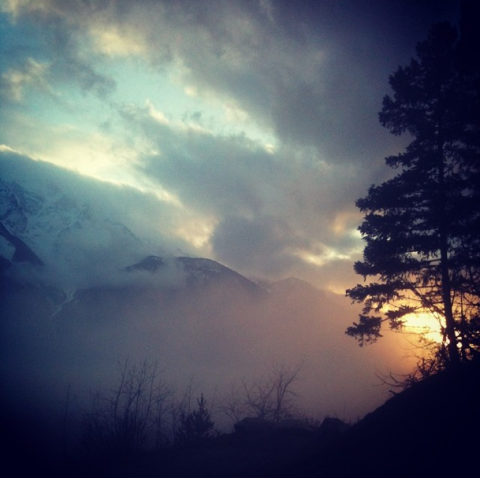
    Driving down the Mackenzie the other day.. It was foggy and smoky from a few brush fires but made for some really beautiful photos. I took this through the truck windshield.
    emily haggar

    emily haggar

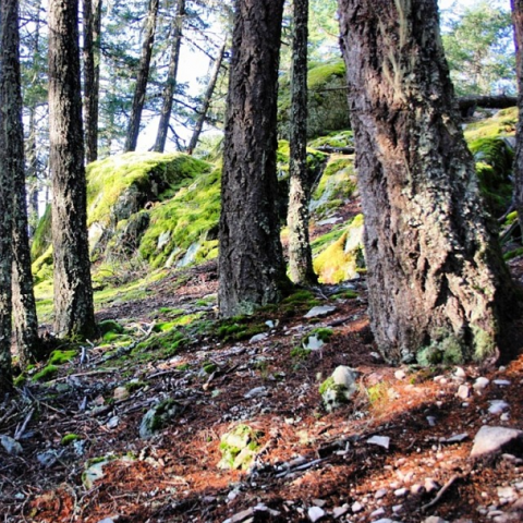
    This is near the Moosejaw connector – looks like we're going back in time to summer/fall again.
    emilyhaggar

    emilyhaggar

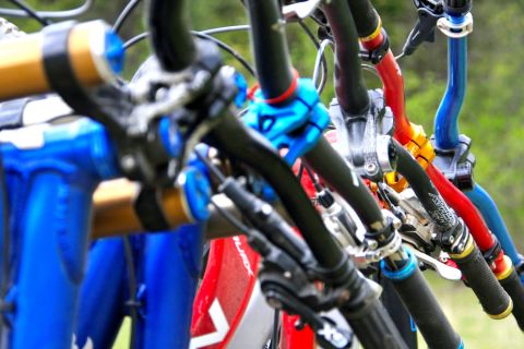
    There's not much snow in the forecast for this week, so it might be a good time to do double sports duty with the bike and the skis.

  • 2013-12-17 22:15:41

    In a similar vein... we've given up and are heading down to California. Hopefully all will go to plan and the snowpack will build and heal by the time we're back!

  • 2013-12-19 13:37:10

    Good plan!! Hopefully you will have a great biking trip and come back to some powder!