






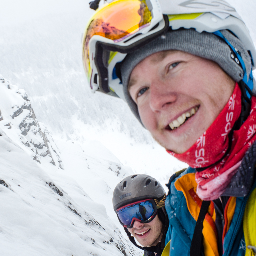
In the hopes to avoid some of those terrible conditions I headed out to the Great Divide at the start of the week.
The ski up Healy creek started with fresh little ice gibbets covering the skin track making for annoying but fast travel. Rain the previous night had set a nice luge track for the down sections meaning I made good time to the base of the slide paths. After poking my head out the trees I realised that the big red reset button hadn’t been pushed on any of the Healy slide paths so I ducked around them in the trees. Coming up to the alpine I was faced with a nice breakable crust below some new windslab which meant I was punching down twice with every step. I wasn’t too happy with this. Heading to the campsite was arguably the most difficult descent of my life with a heavy pack on my back and rain crust under my feet.
I met the other guys at the campground and I learned that they slogged their way in through rain. I’m pretty sure I got off easy.
On Monday we headed out to Sphinx lake on the recommendation that the best snow was there. The best snow for the area. Not the best snow ever. Travel was good with the rain/melt crust disappearing at around 2250-2300m and giving way to nice soft snow. The chutes we looked at can only be described as a larger version of the ever popular Tryst lake, with some big cornices, steeper runs and tricky features to negotiate. Having not much confidence in the snowpack we skinned up the skyline ridge in the photo below and poked around a bit before declaring things good. Our entry points were well below the lee ridge, cornices and thinner top section. It was some 1-2m of harder wind compacted snow on facets with a nice wind buff on top. This made for good skiing and after arguing about who was going first we got a couple of laps in on the shoulder.

Marcus dropping in first and pinning it.

Steep chutes around Sphinx Lake. We rode the rightmost chute, ridge and tree triangle, entering just above the top tree.
We were joined by another fella on Monday night and decided to see how things were in the morning before planning much. Tuesday came with high winds and widespread cloud cover so we toured out to Talc Lake, south of the campground. Here we saw some widespread activity which appeared to be a mix of full depth slides releasing at thin points and just surface snow, leaving the possibility for hangfire from above. This changed our plans somewhat as no one was really too excited to ski below the crowns. We changed our plans yet again and toured down to Mummy Lake for a look. We decided to head back to the campground by way of the Giza couloir, which turned out to be a wind sculpted run full of little berms and other wind features. Stability was quite good, however due to the lower elevation of this run the fan was horrendous with debris from slough and the crust lurking just below the surface.

Heading back from the Giza couloir. Some cool wind features in there.
This area hasn’t really experienced the big cycle that hit the rest of the Rockies last weekend, which means there’s still plenty of snow out there just waiting for the right trigger.
All over the Rockies we’re in the low probability/high risk phase of winter. This means that things will probably run big if they do go. So stay away from thin spots which will step down and get away from big triggers like cornices, big wind slabs and slopes hit by solar radiation. Unfortunately this covers most aspects around here so it’s all down to working terrain in the particular zone you’re in.

