






Some ring in the New Year by partying their hearts out in Times Square and some head to Rogers Pass.
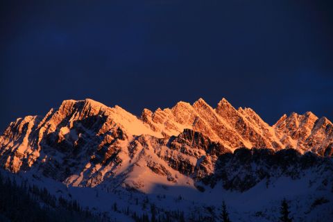
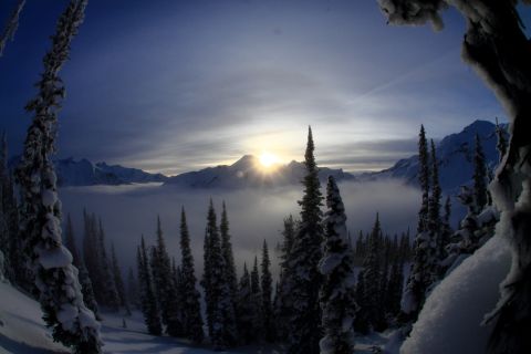
Arriving from the eastside, we met up with our shredders in arms from the westside, only to see the dawn's early light illuminating the peaks above.
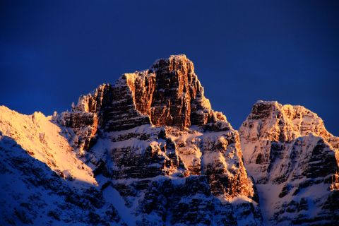
The Avalanche Winter Permit Area was closed, so we made a dash for the Cougar Valley.
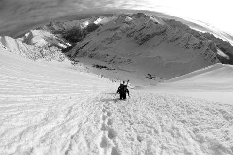
We embraced the leopard spirit, and climbed to the western summit of Bagheera.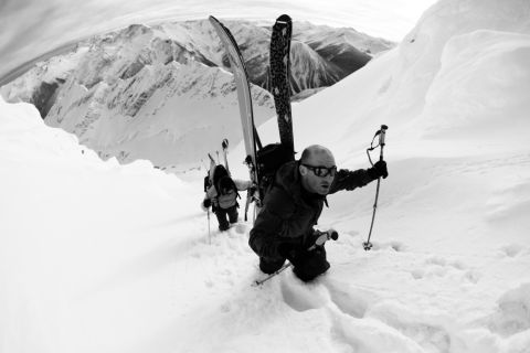
The cold daylight of the waning year made the powder light and fluffy as we slid down the sun-lit face.
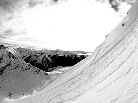
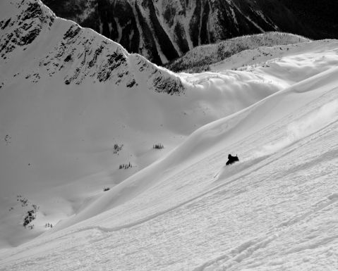
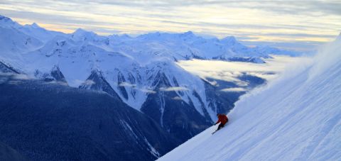
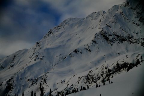
The year was kicked and so were our legs as we topped out on Balu Pass on our way home. Shred ya later 2012, thanks for the good times!
Alas, the old becomes new and we rose again. In the dawning of a New Year, we headed up Balu Pass again, this time harnessing the power of the bruin spirit and bootpacked our way up Ursus Major's rib line.
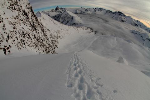
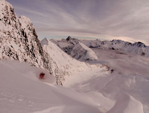
Oh, how sweet it was!
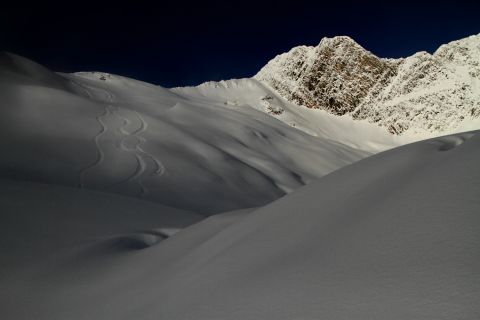
And then the snow fell, but like all cycles, the sun reappeared and into the alpine we crept again. This time we headed towards the south side of the highway. 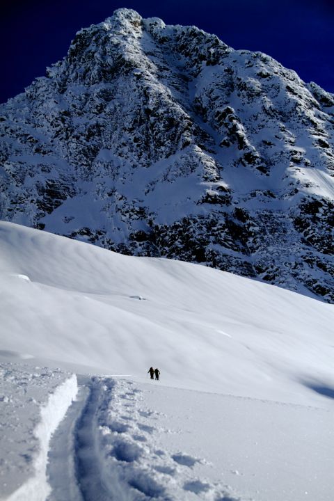
Eagle Peak's west buttress towered above the sun drenched basin.
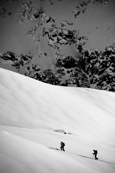
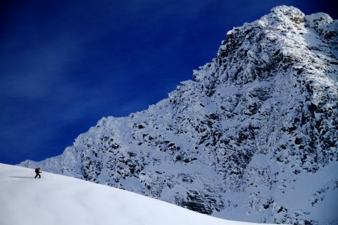
The Avalanche Neve is guarded by steep headwalls to the west, but stability was on our side and the mountains gave us access to one of Rogers Pass' gems.
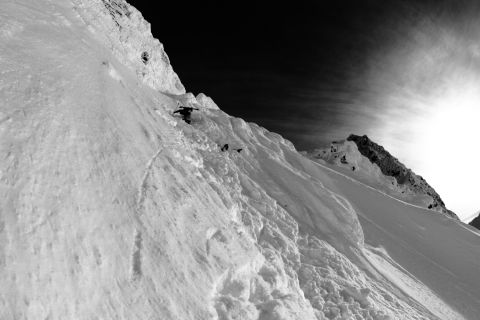
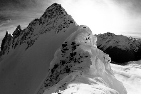
The view to the east is one of those views you rarely get when you're skiing in the Pass. I cherish it every time I see it…But I won't give it away, that's looking south towards Eagle, Uto and Sir Donald.
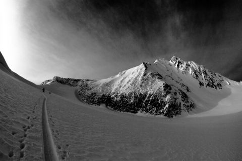
Shhhhh… don't tell! There are ski runs on Avalanche.
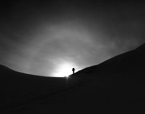
The frosty January air bit into our cheeks as we walked the southwest ridge of Avalanche.
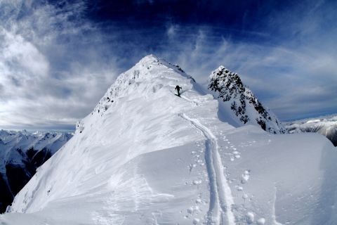
It's western summit exposed a different vantage of Tupper and Rogers.
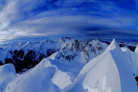
And the turns down the east face were super duper!
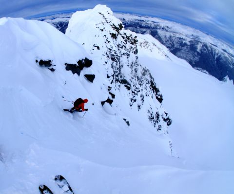
But the day was growing short and the fastest way down was via the north west chute.
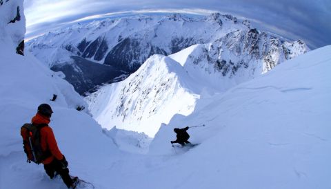
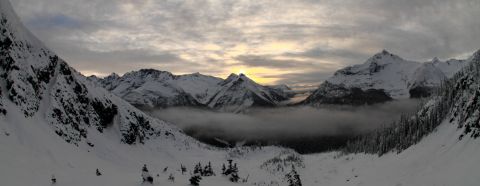
The sun set again, but the world kept on turning and the sun kept on shining, so we kept on skiing.
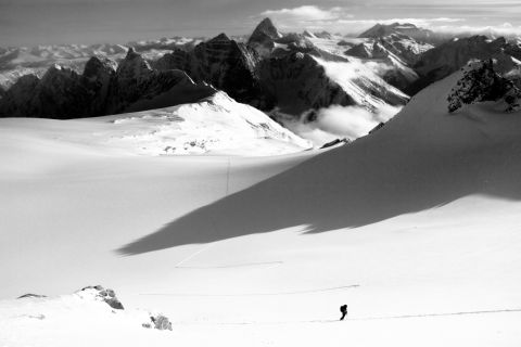
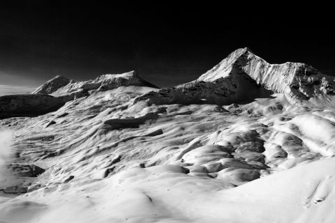
There is nothing like being up in the alpine and being able to stare accross at a peak off of which you skied the day before.
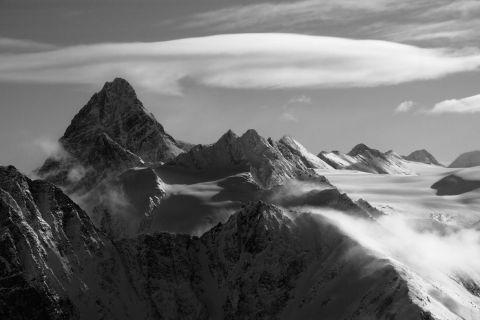
Mt. Rogers was not so kind, cold winds out of the north coupled with windslab on the upper face forced us to turn around.
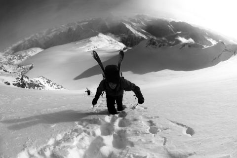
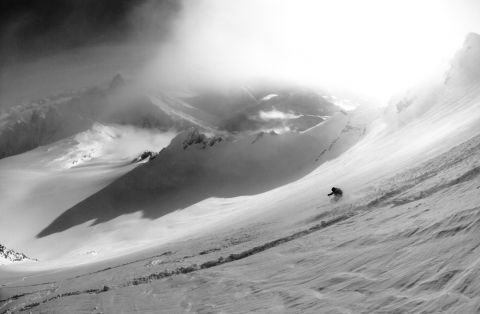
We sought solace in the Lone Pine slide path, which plummets from Mt. Tupper's west ridge directly down to the Trans-Canada.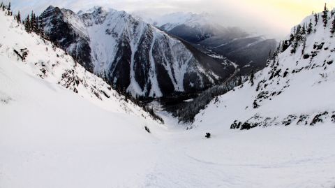
Powder tip to tail. Jeeze 2013, you've been good to me so far and for that I thank you!
