




• Weekly avalanche conditions report
    Weekly Episode

    Avalanche Conditions Report

    Weekly snowpack summary covering Rogers Pass, the Selkirks and the Canadian Rockies. Published every Friday throughout the season.

    Listen Now →

    Weekly avalanche & safety updates throughout the season

  • BSC Guide Books
    Proprietary Content

    BSC Guide Books & Maps

    Researched and written by our team. Printed guides and georeferenced digital maps for Canada's best backcountry terrain.

    Shop the Store →

    Printed guides + georeferenced digital maps — all authored by BSC

  • BSC Membership

    Access 300+
    Full Routes

    Subscribe to Backcountry Skiing Canada and unlock complete route descriptions, trailhead details, approach beta, seasonal conditions and linked digital maps — for every route we've documented across Western Canada.

    • 300+ full route descriptions with trailheads, approach notes and descent options
    • Georeferenced digital maps — Gaia GPS and CalTopo compatible
    • ATES-rated and updated each season with current conditions beta
    • Support independent backcountry skiing content since 2009
    Subscribe to BSC Browse free content →

    Route details also available in BSC printed guidebooks

  • Know Before You Go

    Check Today's Forecast

    Real-time avalanche danger ratings updated daily by Avalanche Canada. Always check before heading out.

    View Forecast →

    Avalanche awareness saves lives

  • Know Before You Go

    Check Today's Forecast

    Real-time avalanche danger ratings updated daily by Avalanche Canada. Always check before heading out.

    View Forecast →

    240+ videos — gear reviews, conditions reports & backcountry edits

LOGIN

Vermillion Pk.

  • 2011-02-12 20:06:34

    Skied the Vermillion path on Highway 93 today.  There was 20cm of new in the Inkpots parking lot and 40+ at treeline it snowed  all day and was still snowing when we left. The main path ran big in Jan, I’m guessing, and put debris almost all the way to the road it’s impressive. At treeline the air temp was -5 and there was a moderate to strong SW wind that was really moving the new snow around, forming soft slabs and depositing lots of snow into any lee features. We didn’t venture up into the alpine at all it was a little to nasty up there. There was fresh avalanche debris that ran out of one of the steeper gullies on the far skier right that stopped above where the gullies join. We couldn’t see where it came from how far it ran or really anything up there… Skiing was great in the burn and out of the wind up high, or anywhere with wind effect, it was really too scary to ski anything steep enough given the ski pen.  There were 4 other parties up there today but my guess is with all the new snow there is still lots of good skiing to be had in the burn. If you head out that way keep your heads up it’s definitely scary at and around treeline with more snow wind and mild temps I wouldn't be suprised if there was more natural activity.


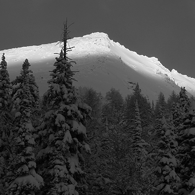
  • 2011-02-13 20:17:23

    Hey JoeBuzz, great photo and route tracking - any chance you would like help us populate the route section for the rockies as you see to be da' man?


    Let us know if you can help out.

    [email protected]

  • 2015-02-01 16:18:38

    Skied Vermilion Peak yesterday. About two inches of fresh snow within last 48 hours on top of hard crusty snow. Avalanche stability was solid top to bottom - there was very little to worry about today. 

    Skinned up the full 1200m and kept going, scrambling to the summit ridge. The last 30 m of bootpacking through weak crust on sugar snow was very slow going, as we were punching through to 45 degree slate bedding planes. After much effort gained the summit ridge and skied a short way east towards the true summit, but stopped due to scary cornices and lack of time.

    Ski down was good through the alpine and treed areas of upper slied path - about 400 metres of consolidated snow, not powder, but not crust either. Decent skiing.

    The rest of the slide path below that was a skiff of snow on increasingly icy crust. It was survival skiing by valley bottom.

    We didn't probe any snow depths but it was sufficiently deep to cover any rocks. Some small trees  poking through but no risk of damaging skis.