






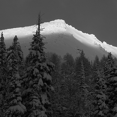
The latest Public Mountain Conditions Report:
Just out from a week of ski touring at Battle Abbey Lodge in the Selkirk Mountains with Roger Laurilla. We had an excellent time with 50-60cm of fresh snow early on and three days of clearing weather to finish the week.
Despite expecting some wind effect up high after the storm we found boot top powder from summit to valley in the last several days with little wind effect anywhere. Suncrust was forming on steeper south aspects. Ski penetration was from 15-20cm which made for good trail breaking and great skiing. Snow depth on the glaciers was 3m plus with good snow bridges except in areas that had seen large avalanches early in the season.
We had three main concerns in the snow pack to finish our week. The first is a couple of buried sun crusts in the top meter of snow on steep southerly aspects. These seem to be gaining strength but we were quite cautious about our exposure on South aspects and stuck to moderate angled terrain. We observed several natural avalanches up to size 2 on these layers when the sun came out and heated up the surface snow on Thursday.
The second is the potential for cornice failures which could trigger deeper slabs in steep alpine terrain. The cornices have grown very large recently and seem to be failing with some regularity in the warmer temperatures. Most of the smaller cornice failures we saw did not trigger any substantial slabs, however Friday we saw a natural size 3-3.5+ on the North face of Mazinaw Peak that went down to the basal facets on the steep glacier ice. This was likely triggered by a cornice failure.
The third was the potential for buried wind slabs in the alpine on steep convex rolls. These seem to be gaining in strength and we were able to ski a lot of steep planar terrain and smaller steep rolls up from 45 to 50 degrees, but stayed away from cross loaded areas and areas with variable snow pack depths.
Snowing lightly as we left with more in the forecast...
Cheers, Conrad Janzen
ACMG/IFMGA Mountain Guide
