

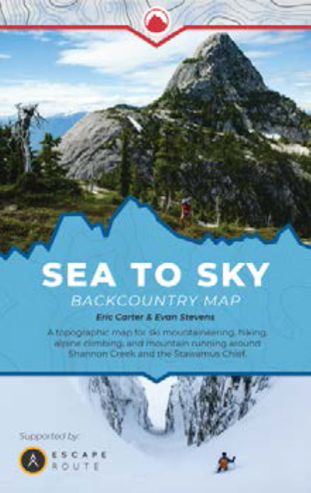
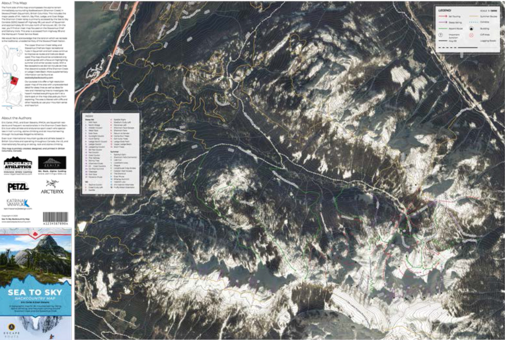
Sea to Sky Backcountry Map
A 31” x 21” topographic map superimposed on high resolution satellite imagery covering the Stawamus Chief and Shannon Creek Basin (Sky Pilot area). The map includes both summer and winter route lines with a focus on safe and respectful use and is appropriate for all seasons. Authors Evan Stevens (IFMGA) and Eric Carter (PhD) are a guide and professional athlete who have spent a significant amount of their lives exploring the area and want to share their experience to help others have more fun and stay safe. The map is printed on waterproof and tearproof paper.
 |
|
 |
|
• Designed and printed in British Columbia.
• 56 routes in total, 42 skiing and 13 hiking
• Double-sided
• Heavy-duty coated waterproof and tearproof paper
• 31" x 21"
PRICE: $25.00
**TEMPORARILY OUT OF STOCK**