

Kootenay Pass Ski Touring Map - Version 2.0
This map has been created with the help of CAA professionals, ACMG/UIFMG members, and GIS technicians. It details 23 winter ski touring routes and winter topographic maps that use a 1: 20,000 scale and contains 23 georeferenced photographs of various ski slopes. Information on each map includes approach routes, hut locations, and avalanche terrain assessment scales and a separate map with avalanche terrain assessment scale overlay.
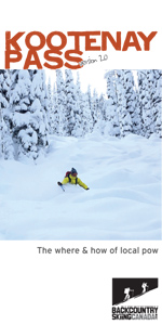 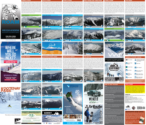 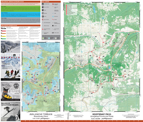 |
This 1:20,000 topographic map has 23 georeferenced photographs of various ski slopes along with approach routes, hut locations, and avalanche terrain assessment scales.
PRICE: $24.95