• Weekly avalanche conditions report
    Weekly Episode

    Avalanche Conditions Report

    Weekly snowpack summary covering Rogers Pass, the Selkirks and the Canadian Rockies. Published every Friday throughout the season.

    Listen Now →

    Weekly avalanche & safety updates throughout the season

  • BSC Guide Books
    Proprietary Content

    BSC Guide Books & Maps

    Researched and written by our team. Printed guides and georeferenced digital maps for Canada's best backcountry terrain.

    Shop the Store →

    Printed guides + georeferenced digital maps — all authored by BSC

  • BSC Membership

    Access 300+
    Full Routes

    Subscribe to Backcountry Skiing Canada and unlock complete route descriptions, trailhead details, approach beta, seasonal conditions and linked digital maps — for every route we've documented across Western Canada.

    • 300+ full route descriptions with trailheads, approach notes and descent options
    • Georeferenced digital maps — Gaia GPS and CalTopo compatible
    • ATES-rated and updated each season with current conditions beta
    • Support independent backcountry skiing content since 2009
    Subscribe to BSC Browse free content →

    Route details also available in BSC printed guidebooks

  • Know Before You Go

    Check Today's Forecast

    Real-time avalanche danger ratings updated daily by Avalanche Canada. Always check before heading out.

    View Forecast →

    Avalanche awareness saves lives

  • Know Before You Go

    Check Today's Forecast

    Real-time avalanche danger ratings updated daily by Avalanche Canada. Always check before heading out.

    View Forecast →

    240+ videos — gear reviews, conditions reports & backcountry edits

LOGIN

Touring Hamilton 2 Soapbox Comp

  • 2014-03-27 02:09:41

    Hello Again,


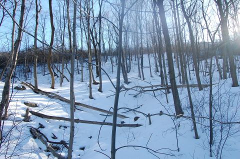
    At it once again in Hamilton, after my last day at the hills of Chedoke I was eager to find another spot to try out.  This area is 5 minute drive from my house, it's the East end of the Rail Trail. At the bottom of the escarpment runs the tracks for freight trains. A short walk along the pathway trails break off up the hill into some interesting terrain.


    As you can see there is a lot of thick brush with fallen trees and exposed rocks. I spent an afternoon hiking with my camera getting a feel for some spots that would be worth checking out after the next significant snowfall. After picking out a few lines to try out all I needed was some fresh powder. Fortunately I didn't have to wait too long as we had a nice dumping the following week.


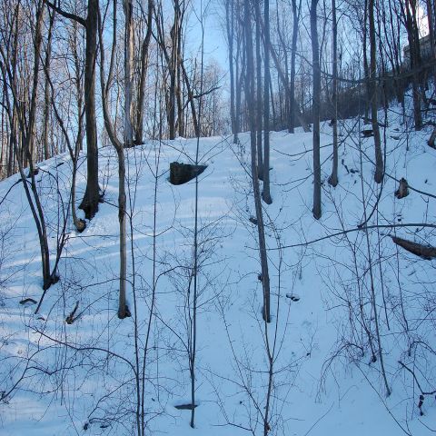
    Exposed rock surrounded by small trees
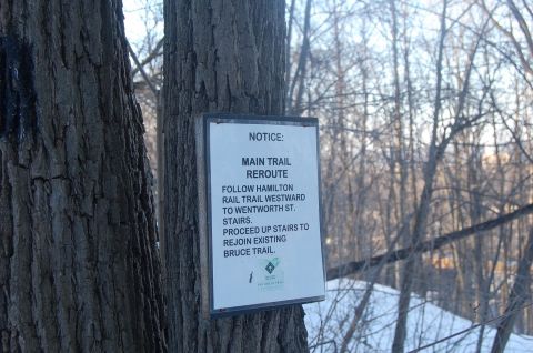
    Trail markings
    Above: looking up the hill/Below: A shot from the top
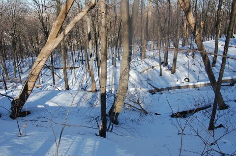
    The fresh snow held really well to existing base and was able to take advantage of some of tight turns and natural features. It took some maneuvering to avoid some of the downed trees but the overall experience was really good.

    I was able to video document the afternoon and compiled the videos to the music of my favorite local Hamilton band "The Reason"

    http://youtu.be/7tt4srbjwvQ

    doesn`t look like I`ll have a chance to explore anything else in the city this season as the snow is all but gone. I plan to do some hiking in the off season looking potential spots to tour next year.


    Till next time,

    Lambie


  • 2014-03-27 09:32:28

    Thats some rough tree skiing in Ontario, nice efforts!

    Here's the video w/o the link:

  • 2014-03-27 11:00:55

    Thanks Skifreak, we do what we can in Ontario until we can head out West.