• Weekly avalanche conditions report
    Weekly Episode

    Avalanche Conditions Report

    Weekly snowpack summary covering Rogers Pass, the Selkirks and the Canadian Rockies. Published every Friday throughout the season.

    Listen Now →

    Weekly avalanche & safety updates throughout the season

  • BSC Guide Books
    Proprietary Content

    BSC Guide Books & Maps

    Researched and written by our team. Printed guides and georeferenced digital maps for Canada's best backcountry terrain.

    Shop the Store →

    Printed guides + georeferenced digital maps — all authored by BSC

  • BSC Membership

    Access 300+
    Full Routes

    Subscribe to Backcountry Skiing Canada and unlock complete route descriptions, trailhead details, approach beta, seasonal conditions and linked digital maps — for every route we've documented across Western Canada.

    • 300+ full route descriptions with trailheads, approach notes and descent options
    • Georeferenced digital maps — Gaia GPS and CalTopo compatible
    • ATES-rated and updated each season with current conditions beta
    • Support independent backcountry skiing content since 2009
    Subscribe to BSC Browse free content →

    Route details also available in BSC printed guidebooks

  • Know Before You Go

    Check Today's Forecast

    Real-time avalanche danger ratings updated daily by Avalanche Canada. Always check before heading out.

    View Forecast →

    Avalanche awareness saves lives

  • Know Before You Go

    Check Today's Forecast

    Real-time avalanche danger ratings updated daily by Avalanche Canada. Always check before heading out.

    View Forecast →

    240+ videos — gear reviews, conditions reports & backcountry edits

LOGIN

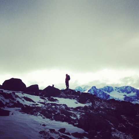
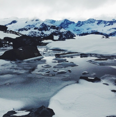
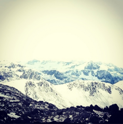
Pre-winter hike, and a new trail up Mt Currie.

  • 2013-10-29 10:20:45

    Last summer we bushwacked it up here... but now you climb Mt Currie as a day hike, with the new trail in place. You can read the story of our other trip here: http://backcountryskiingcanada.....-pemberton

    The trail was cut this summer, starting near the Green River motocross track, and ascends to a lookout over the town of Pemberton. The trail takes you far left, away from the true summit, which is on the south side of the mountain. The trail ends about 600m below the peak, so it'll take some route finding and extra energy (or a night in the tent) to tag off the summit.
    emily haggar

    emily haggar

    emily haggar

    The trail is steep, but it's definitely a quicker and easier way to get to the alpine than what we did last summer. There is some heli logging in the area so read the signs and stay out of their way if you're going to head up this fall.