







This is Mt Currie, the giant mountain above Pemberton BC (just north of Whistler). It is 8500ft high, and starting from the vallery bottom at 690ft, you can see about 7800 vertical feet towering up above the town.
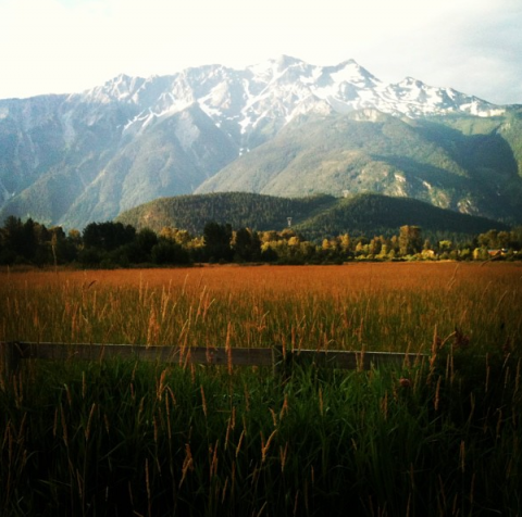
I had been wondering for some time how to climb this mountain, but there was very little written about the best route online. Currently a trail is being build up the south side, but I really wanted to get up there before the crowds of tourists arrived on scene.
We (my boyfriend, dog and I) decided to start at the Green River racetrack and cross a bridge put in by the forest service (eliminating one major obstacle - the river crossing). We chose a route in between two creek drainages, and used GPS to make our way up the difficult terrain (steep, typical west coast dead fall, dried up river beds, cliff bands, devil's club, and underbrush so thick you could barely see your feet in front of you).
I have done a lot of hard bushwacks in my day, but this one takes the cake hands down. The elevation gain, pitch and overnight pack made it a real challenge.
I guess this is partly why it felt so good to do it.
Once we reached the alpine, it was like being in mountain heaven - long rolling fields of wild flowers cover the south side of the mountain, with creeks, marmots, birds and a view all the way to Tantalus.
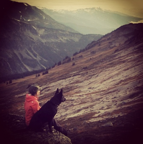
Here I am with the dog. If you look closely you can see the Black Tusk off in the distance.
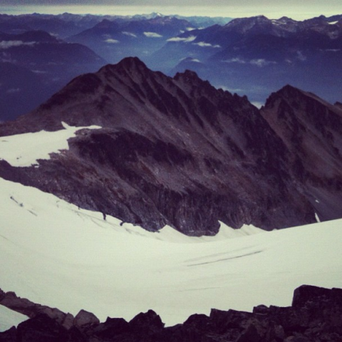
The true summit of Mt Currie is not visible from the town of Pemberton, as it is around the back. The giant knife edge you see from town cuts sharply back down into a deep crevassed glacier behind the ridge, then up again to the highest point. This is what we were aiming for.
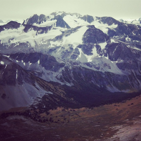
The view looking towards Whistler - Wedge is the tall point.
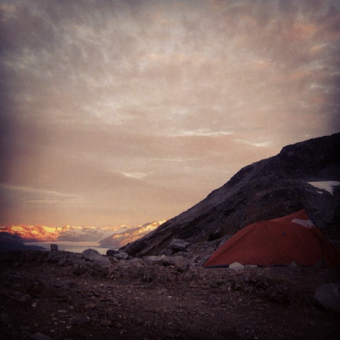
We camped about 1000ft below the summit. There was a full moon, but neither Mike or I saw it, as we collapsed in our tent around 7pm. Mike stuck his arm out the door to take a picture, and this is the only evidence of a full moon we have.
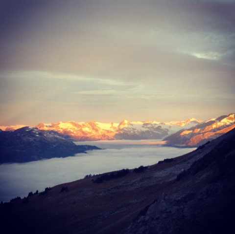
The next morning was incredible. Clouds filled the entire valley while the sun was hitting all the peaks in the distance. We felt like the only people on earth. In fact, the entire time we were out, we never saw a single footprint.
We headed up the rocky ramp to the summit after breakfast - a fairly easy scramble. Below you can see that knife edge - the part visible from Pemberton, and we are on the summit behind it.
After tagging the top, we hiked back to the tent, packed up, and went all the way back down. We followed approximately the same route, and ended up descending nearly 8000ft in one shot, after also climbing up to the summit. We backtracked around a few cliff bands and I was having trouble finding the leg strength to climb over the piles of deadfall by the end, but all considered I think it was a major success.
This is going to be an incredible memory for years to come. After this trip, Mike and I knew we were rock solid, having been thoroughly tested by the landscape.
With the trail going in, many people will get to experience this area, but I am glad we got a taste of it wild first.
