• Weekly avalanche conditions report
    Weekly Episode

    Avalanche Conditions Report

    Weekly snowpack summary covering Rogers Pass, the Selkirks and the Canadian Rockies. Published every Friday throughout the season.

    Listen Now →

    Weekly avalanche & safety updates throughout the season

  • BSC Guide Books
    Proprietary Content

    BSC Guide Books & Maps

    Researched and written by our team. Printed guides and georeferenced digital maps for Canada's best backcountry terrain.

    Shop the Store →

    Printed guides + georeferenced digital maps — all authored by BSC

  • BSC Membership

    Access 300+
    Full Routes

    Subscribe to Backcountry Skiing Canada and unlock complete route descriptions, trailhead details, approach beta, seasonal conditions and linked digital maps — for every route we've documented across Western Canada.

    • 300+ full route descriptions with trailheads, approach notes and descent options
    • Georeferenced digital maps — Gaia GPS and CalTopo compatible
    • ATES-rated and updated each season with current conditions beta
    • Support independent backcountry skiing content since 2009
    Subscribe to BSC Browse free content →

    Route details also available in BSC printed guidebooks

  • Know Before You Go

    Check Today's Forecast

    Real-time avalanche danger ratings updated daily by Avalanche Canada. Always check before heading out.

    View Forecast →

    Avalanche awareness saves lives

  • Know Before You Go

    Check Today's Forecast

    Real-time avalanche danger ratings updated daily by Avalanche Canada. Always check before heading out.

    View Forecast →

    240+ videos — gear reviews, conditions reports & backcountry edits

LOGIN

Toad Mountain PSA and avoiding the temptation of Google

  • 2016-07-21 12:44:51

    We went for a hike up Toad Mountain this past weekend. It's a relatively easy hike–about 2.5 to 3 hr turnaround at a good clip. Just west of Nelson, it's also reasonably close to town. This was our second trip up, and, prior to leaving, I checked into Google to confirm the directions. I also have a guide book that we used last time: Where locals hike in the West Kootenay. Loaded up with two info sources (one from Google/theoutbound.com and the guide book) off we went.

    The drive–first up Giveout Creek Road then Gold Creek Road–seemed longer than usual and we eventually noticed we were losing elevation. The two sets of directions were conflicting so we went with what looked like the easiest. Google had told us to "stay on the main road at all intersections." We followed these directions and overshot our mark. We didn't follow the suggestion, which appeared later in the post, to get a backroads map for the journey. Funny thing is, we saw four other groups on the hike and they all went past the right turn because they were following the easiest directions.

    Lessons learned: 1) get a backroads map, 2) don't trust everything you read 3) understand that forest service roads are always changing depending on what is being logged 4) accept that as humans, we are always looking for the easiest path, even if it's not the best one.

    This mistake was in no way epic– we wasted about 20 mins. What was interesting is that everyone had made the same mistake because they had all got their info from Google and assumed it was 100% correct.

    Here's another Toad post FYI, and one more. 

    ~Andrew~


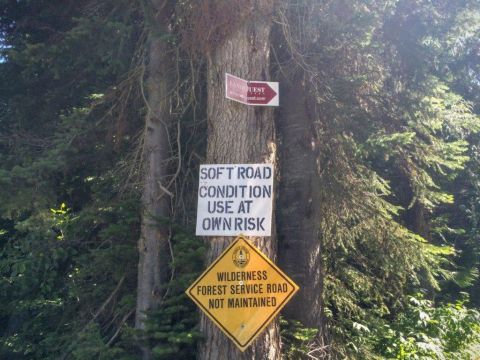
    Be sure to turn right here, 7 k from the turnoff onto Giveout. Even if it seems that the main road is trending left. 
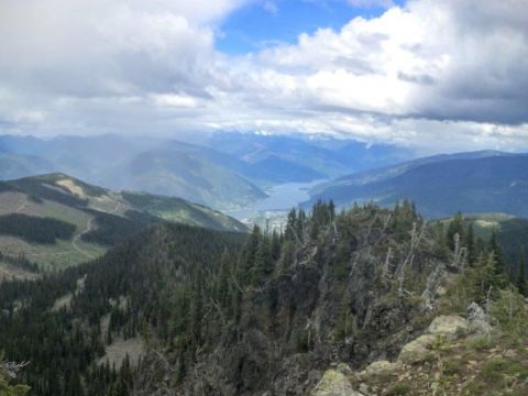
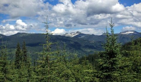
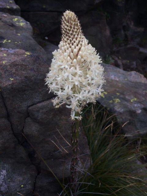
     More general pics. Nelson, then Whitewater, off in the distance. + a weird flower: