• Weekly avalanche conditions report
    Weekly Episode

    Avalanche Conditions Report

    Weekly snowpack summary covering Rogers Pass, the Selkirks and the Canadian Rockies. Published every Friday throughout the season.

    Listen Now →

    Weekly avalanche & safety updates throughout the season

  • BSC Guide Books
    Proprietary Content

    BSC Guide Books & Maps

    Researched and written by our team. Printed guides and georeferenced digital maps for Canada's best backcountry terrain.

    Shop the Store →

    Printed guides + georeferenced digital maps — all authored by BSC

  • BSC Membership

    Access 300+
    Full Routes

    Subscribe to Backcountry Skiing Canada and unlock complete route descriptions, trailhead details, approach beta, seasonal conditions and linked digital maps — for every route we've documented across Western Canada.

    • 300+ full route descriptions with trailheads, approach notes and descent options
    • Georeferenced digital maps — Gaia GPS and CalTopo compatible
    • ATES-rated and updated each season with current conditions beta
    • Support independent backcountry skiing content since 2009
    Subscribe to BSC Browse free content →

    Route details also available in BSC printed guidebooks

  • Know Before You Go

    Check Today's Forecast

    Real-time avalanche danger ratings updated daily by Avalanche Canada. Always check before heading out.

    View Forecast →

    Avalanche awareness saves lives

  • Know Before You Go

    Check Today's Forecast

    Real-time avalanche danger ratings updated daily by Avalanche Canada. Always check before heading out.

    View Forecast →

    240+ videos — gear reviews, conditions reports & backcountry edits

LOGIN

Trail Report: Tenquille Lk Trail, June 10, 2013

  • 2013-06-10 21:43:34

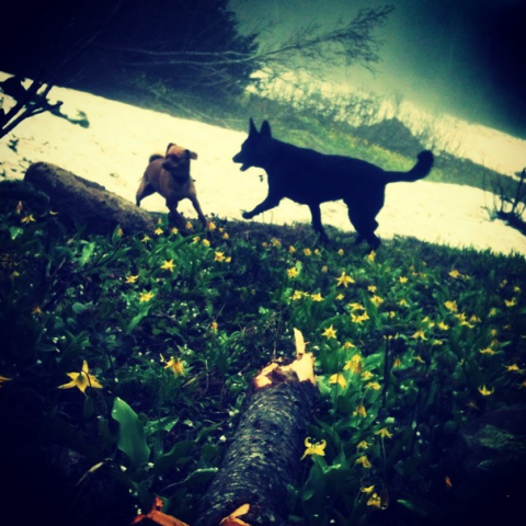
    Here's the latest from my weekly trips up the Tenquille trail..

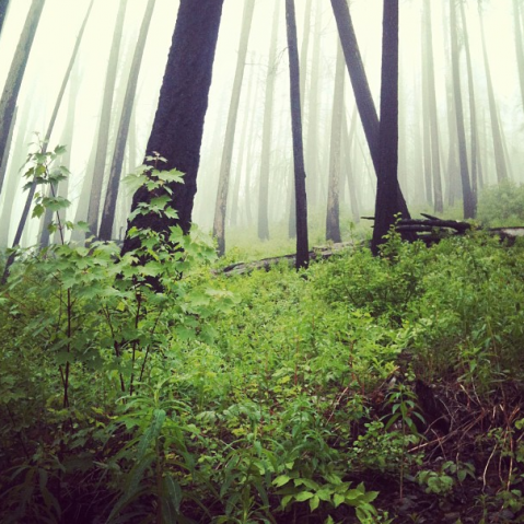
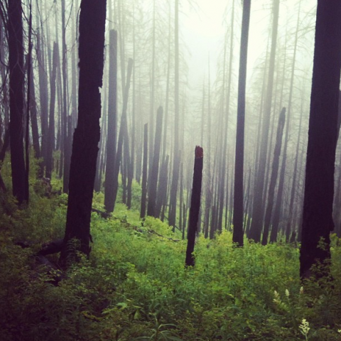
    Starting from the valley bottom at the entrance to the Hurley FSR, the trail is free of snow up to Wolverine Creek, which is at the junction of the trail coming in from the top of the Hurley road, at about 5000ft. This is just a short distance from the cabin at Tenquille lake, so it shouldn't be too much longer until the trail is fully melted out.

    There is a great deal of avalanche debris, including whole trees smashed on the snow, covering the trail at Wolverine Creek.

    We met up with 3 fellows clearning the trail with a chainsaw and cutting back the overgrowth which is much appreciated (thanks!) so the trail is ready for biking if you want to push it up the 4500ft elevation gain :)

    I'll post when the trail is clear to the lake.. stay tuned.

    Here's a good quote for the post. Nothing makes me happier than wandering around the mountains.

    emily haggar 20

    emily haggar 21

    emily haggar 22

    emily haggar 23