• Weekly avalanche conditions report
    Weekly Episode

    Avalanche Conditions Report

    Weekly snowpack summary covering Rogers Pass, the Selkirks and the Canadian Rockies. Published every Friday throughout the season.

    Listen Now →

    Weekly avalanche & safety updates throughout the season

  • BSC Guide Books
    Proprietary Content

    BSC Guide Books & Maps

    Researched and written by our team. Printed guides and georeferenced digital maps for Canada's best backcountry terrain.

    Shop the Store →

    Printed guides + georeferenced digital maps — all authored by BSC

  • BSC Membership

    Access 300+
    Full Routes

    Subscribe to Backcountry Skiing Canada and unlock complete route descriptions, trailhead details, approach beta, seasonal conditions and linked digital maps — for every route we've documented across Western Canada.

    • 300+ full route descriptions with trailheads, approach notes and descent options
    • Georeferenced digital maps — Gaia GPS and CalTopo compatible
    • ATES-rated and updated each season with current conditions beta
    • Support independent backcountry skiing content since 2009
    Subscribe to BSC Browse free content →

    Route details also available in BSC printed guidebooks

  • Know Before You Go

    Check Today's Forecast

    Real-time avalanche danger ratings updated daily by Avalanche Canada. Always check before heading out.

    View Forecast →

    Avalanche awareness saves lives

  • Know Before You Go

    Check Today's Forecast

    Real-time avalanche danger ratings updated daily by Avalanche Canada. Always check before heading out.

    View Forecast →

    240+ videos — gear reviews, conditions reports & backcountry edits

LOGIN

An amazing forest... Wedge trail, Whistler June 25 2013

  • 2013-06-25 12:17:12

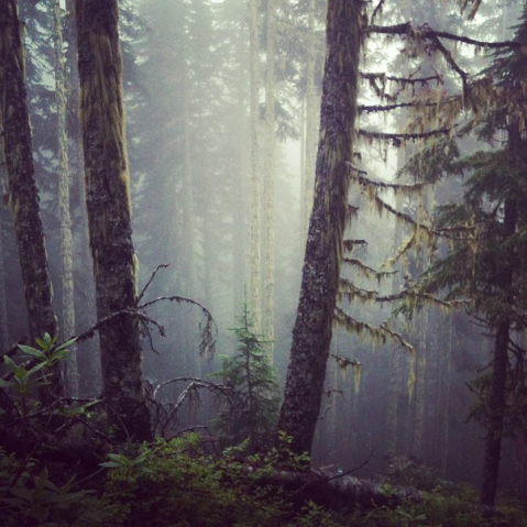
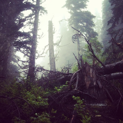
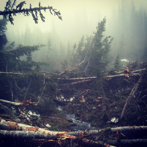
    I thought I'd share a few of these pics from my hike up the Wedge trail on the weekend.. I was mesmerized by the fog and craggy shapes in this forest on the way up - so beautiful.
    emily haggar 43

    emily haggar 44

    emily haggar 45

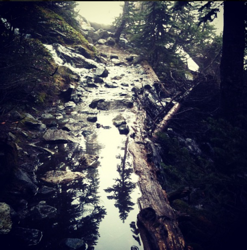
    The trail is super wet, a river flowing down it in a lot of places. I caught this amazing reflection by accident.
    emily haggar 46

    At the top, there was such dense fog I could only see about 10 feet in any direction.. plus the trail was smashed with avi debris. Check out the little trail marker in orange below. This is the route up, so if you're heading to the lake, make sure you go on a sunny day where you've got some visibility to pick out a new path. The snow starts in the sub alpine, in the gully just before the final steep ascent to the lake.
    emily haggar 47