







Got out just under a week ago and was able to take advantage of the beautiful, albiet staying a while past its welcome high pressure we've been getting here in the interior. Figuring N facing slopes that have not been to badly sun affected would be our best for the best skiing I started looking over all the google earth rogers pass imagry. Mt Green came to mind but in the last storm cycle, the classic run off the summit had slid all the way down to glacial ice! I noticed just to the side of it though was a few possible lines and decided to go and check them out in the morning via binoculars and make a call then.
The Line.
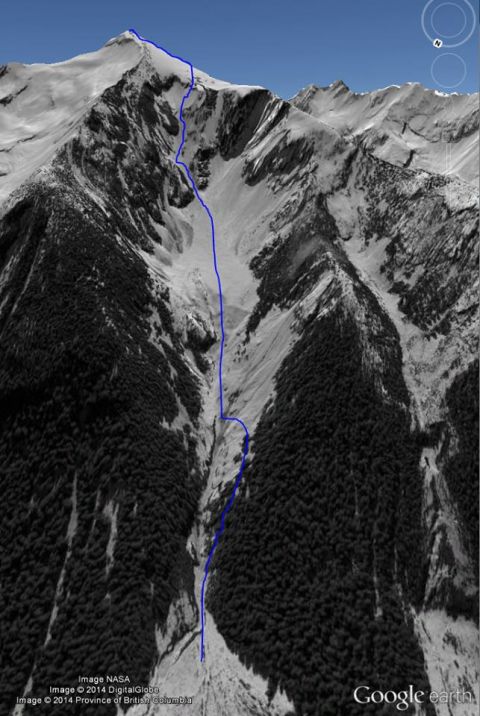
Driving up in the morning the line appeared good, though the obvious couloir to the west/lookers right of the blue line ended in a 150foot waterfall.
We turned around and headed to the loop brook parking lot and quickly put on skins and began marching up the drainage. After about an hour and a half the Mt Green/Bonney col came into view.
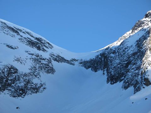
The col was much more intimidating then we had anticipated. We also ran into the Provo bro's and friends who were also planning on going for the summit of Mt Green! Super cool dudes and it made the day even better having great people to pass the time with! We decided to soldier up to the col and take a closer look. We wound up climbing the lookers left side of the col which looked easy but was actually fairly difficult due to there being lots of sections of only facets on slab rock.
We made it though and then after a nice relaxing break at the col we bootpacked the last 200meteres up the windblasted ridge to the summit.
Where we got to stare at some future lines.
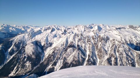
A Pretty Glacier
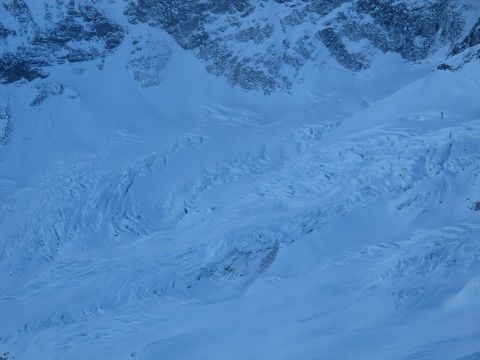
And more distant beauty glaciated and other summits!
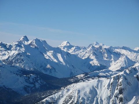
We then skied down some nice corn snow on the west ridge for about 200m to the top of our line.
Dropping in
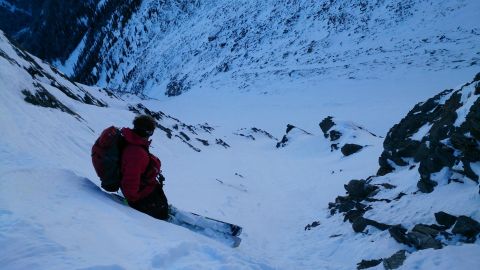
Getting Small
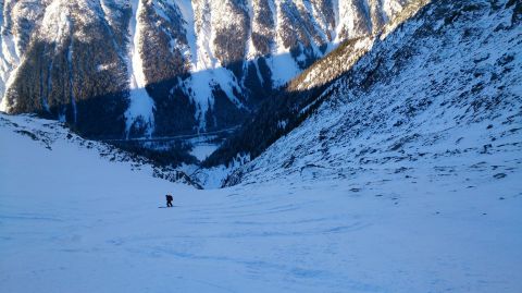
Looking back up at the line
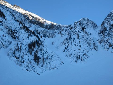
Then we slogged it back to the parking lot. All in all a 14km day as a crow flies, more if you count switchbacks i guess. and about 1700m gained and skied. Hope this is a decent first post for you guys!
