







Well high pressure systems are a total love hate relationship. I want to ski pow, jump of things and ski pillows, but when the sun is shining and there is solid stability, well you try and get out and after it.
Snow had been pretty wind blasted on anything west, and the sun had destroyed anything south facing but i was running out of ideas for good N facing runs. We had skied Mt Green and Cougar Mountain, Mt Macdonald hosts some nice N facing coolies but they seemed to not be filled in enough/just didn't really look all that great. I was clicking through Greg Hills blog for the Millionth time and re-found this line that I had forgotten about.
The line i found was actually a couloir of sorts on the mountain but we wound up skiing the face instead(more on that later)
Here is my picture from our day, much less filled in than the picture from Gregs blog.
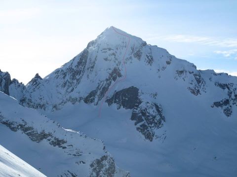
Again, we showed up super ealy as this was going to be a big day and we didn't want to be short on time if we ran into any trouble back there as you are quite a long way from anywhere once you drop off that side of the mountain.
We hammerd up the skin track and besides a short drink break didn't stop moving till we reached the col below the scramble to the summit.
We stopped took some pictures and then began the scramble up.
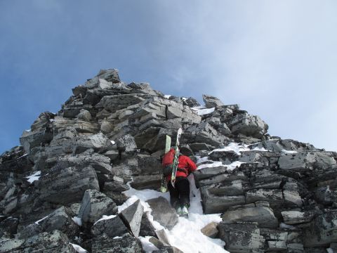
Looking Down
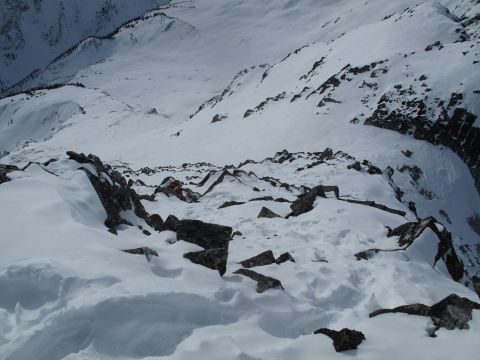
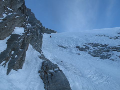
Then not to much pictures from the top as we we're more worried about finding our way into our line. It was wierd because it starts out on like a 20degree slope but then all of a sudden rolls into a consitant 50, the rollover was scary because you had to work towards it but finding the line entrance was hard. 2 tracks had already entered the N face, and the snow was a bit slabby up high. We opted to ski the Ne face due to there tracks already cutting up the slope, plus we had a clear view top to bottom of the line so it was way easier to commit to.
Skiing Down.
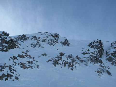
Skiing down the exit couloir in fairly horrible conditions, wind blasted and super icy.
Skinning to our exit col, we opted to use the sifton/little sifton col instead of summiting little sifton via the glacier as we we're un roped and felt it would be safer to exit via the little sifton traverse.
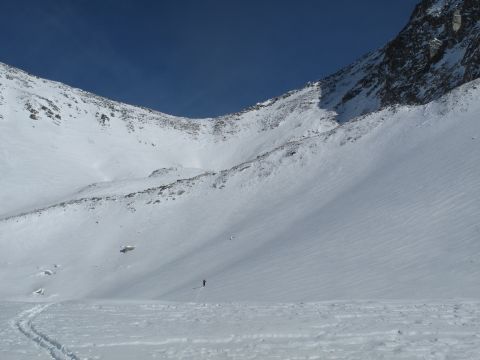
Skiing to freedom
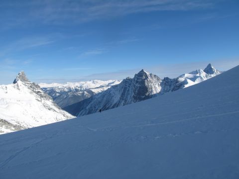
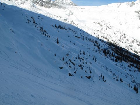
Suprisingly we actually managed to find some good snow on the way out as well. It was tracked but still nice and soft, till you slightly changed aspects and hit the breakable crust. Still super fun time and a line I'm incredibly stoked on.
It was about a 2000m day and 14km or so as a crow flies(drawing a straight line with google earth) Used my spot and it calculated it to be about a 24km day so not sure how accurate the spot is but it was a decently long day. 9 and a half hours round trip.
