






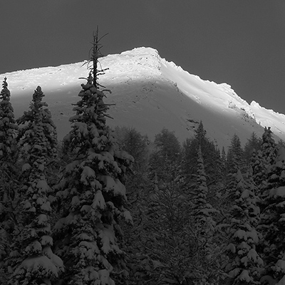
A very thorough report from Mark Klassen and the Public Mountain Conditions Report:
We skied in Rogers Pass January 24-29. When we left yesterday the primary concern were windslabs in alpine and exposed treeline areas. We went to Lookout Col and observed several natural avalanches yesterday to size 2 that were running out of steep lee zones in the alpine. Cornices were also large in this area.
We also still had significant concerns about deep instabilities in the alpine. We continue to limit exposure to large alpine features, especially if cornices overhang them. Although we felt the probability of a large avalanche occurring was reasonably low, if a large trigger like a cornice fall were to hit a slope and cause a deep layer to fail the consequences of being in the way of the resulting avalanche were enormous and probably unsurvivable.
Probably the best information we can give right now is a synopsis of where large avalanches ran during last week's avalanche cycle. We had mediocre visibility and there is a lot of snow on the old debris but this is what we saw:
Connaught
Looks like all the Cheops paths went big and in some places ran into the forest on the other side of the valley (hitting the normal uptrack). A couple of medium sized trees had been snapped off.
Grizzly slide path did not go big. Frequent Flyer did not look like it went big, although perhaps it went very early in the storm and the debirs is well covered by subsequent snowfalls. If not then this place is disconcerting.
Loop Brook
None of the paths affecting the initial approach up the creek ran big. We observed a size 2 loose snow avalanche off Mt Green that did not run past the top of the fan and did not trigger a slab.
Upvalley no major activity was noted on the Lily or Bonney sides except for large fracture lines below the n face of Bonney that ran onto the glacier. The moraines have not slid.
Asulkan
Big stuff here. A size 4+ off of Mt Jupiter ran into the Mousetrap. A size 4 ran out of the northern half of the Ravens into the Mousetrap (the southern half still seems to be there). A size 3+ ran out of the basin west of Lookout Col but I'm not sure if it made it all the way to the Mousetrap. Only about 10% of the start zone in this basin has released, there is a lot more snow up there. I calculated that there is at least 30,000 tonnes of debris in the Mousetrap from all these avalanches. There is a huge fracture line down to the ice in the Forever Young couloir, not sure how far it ran. No debris in the Tree Triangle.
Illecillewaet
A size 4 ran from the base of Sir Donald's west face, took out the slopes on the moraine below the w face, and ran to valley bottom. It broke a few trees. The east face of Glacier Crest had old thick fracture lines. Otherwise we just saw recent windslab activity to size 2 with about 30 cm thick fracture lines.
Hope that helps.
Mark Klassen
Mountain Guide
