







Just returned from Roger’s Pass and the Asulkan Hut last night. We bumped the trip ahead a day because of avalanche danger and spent a total of 4 nights. The ski-in through the mousetrap was, as is often the case, a little hairball. It’s such a classic terrain trap that travelling through it on the best of days is even a little nerve wracking. Because we mis-timed the Galena to Shelter Bay ferry-ride, we were running a little late and had to walk up the last bit (about half-way through the tree triangle and above it) in near-darkness. Thanks to wonder-boy for breaking trail. Most of the terrain above the hut looked to be either unstable, wind-whipped, or both. First day we stuck to the tree triangle below the hut. Luckily, there had been about 50 cms over the previous days so the skiing was excellent—as well as safe. This treed terrain is remarkable in that new lines keep opening up. We did five laps in there that day.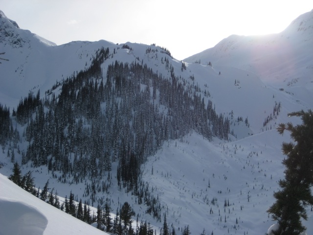
Here's a snap of the tree triangle. Waaaay more terrain than is apparent here.
Next day, we went back into the trees below and skied off skier’s right toward the top of the Mousetrap exit. We poked around in the sun on the south facing slope there but found that most of it was wind blown and variable. We then crossed over the uptrack to the east-facing slope and discovered the triangle moraine tucked under a landmark rock. We did one run down there and enjoyed it. A bunch.
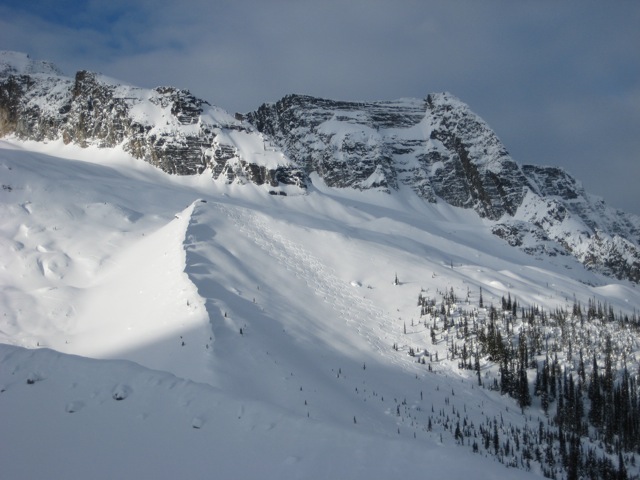
Here's the trianlgle morraine with some of our tracks looker's right. Nice!
Last day we returned to the same terrain and skied above the triangle moraine, about half-way up to the Safire Col shelter. We discovered some great trees toward the bottom, skier’s left. Next day, we packed up and skied out. Great trip. Next?
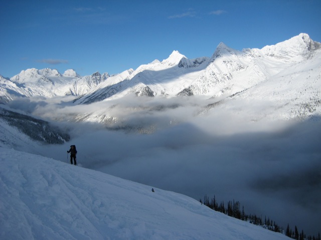
I'm not sure but I think this is just above the tree triangle. Lot's of valley cloud made for spectacular vistas.
