






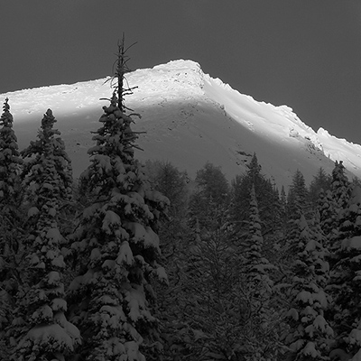
Conditions look to be primo for Rogers pass these days and more snow forecasted for this week, full report below courtesy of the Public Mountian Conditions report:
A bit of old news here perhaps, as it is presently snowing outside my window again, but here is what I have been seeing in the Albert Icefields area as well as a quick tour of the Asulkan valley in Rogers Pass on Tuesday Mar.7th.
Basically it is a great snowpack (about time!) and the ski quality has been amazing. My major concerns right now are southerly aspects where the Feb.21 suncrust is now buried at least 60-70cms – from what I have seen and been hearing, this is the most active layer out there and is currently capable of producing size 2.5-3.0 avalanches.
It seems that this crust is limited to steeper aspects in Treeline and Alpine terrain and is somewhat variable depending on a mix of aspect and incline – I have basically been avoiding this issue by staying off those aspects – easy when the crust is on the surface and the skiing sucks – but trickier when you get a new snow dump (like today and tomorrow) and the skiing is better.
My other major concerns is the recent soft cornice formation from last week’s wind and snow, which will likely continue to develop with these next systems.
Other than that, Mar.7th I noticed on the Youngs Peak Headwall as well as the very top of Mt. Leda’s East face, a very hard buried windslab that the upper snow was having difficulty adhering to in the very steepest part (45 egrees) – though this old buried windslab is widespread it does not appear to be a major issue except in these exceptionally steep areas where it has remained exposed from sluffing and is very hard (difficult to even kick a step into).
Obviously we will have to watch the next storm and see how things bond in the short term – especially since they are forecasting some significant winds for the next couple of days.
Have a great winter!
Cheers, Scott Davis
ACMG/IFMGA Mountain Guide
