




• Weekly avalanche conditions report
    Weekly Episode

    Avalanche Conditions Report

    Weekly snowpack summary covering Rogers Pass, the Selkirks and the Canadian Rockies. Published every Friday throughout the season.

    Listen Now →

    Weekly avalanche & safety updates throughout the season

  • BSC Guide Books
    Proprietary Content

    BSC Guide Books & Maps

    Researched and written by our team. Printed guides and georeferenced digital maps for Canada's best backcountry terrain.

    Shop the Store →

    Printed guides + georeferenced digital maps — all authored by BSC

  • BSC Membership

    Access 300+
    Full Routes

    Subscribe to Backcountry Skiing Canada and unlock complete route descriptions, trailhead details, approach beta, seasonal conditions and linked digital maps — for every route we've documented across Western Canada.

    • 300+ full route descriptions with trailheads, approach notes and descent options
    • Georeferenced digital maps — Gaia GPS and CalTopo compatible
    • ATES-rated and updated each season with current conditions beta
    • Support independent backcountry skiing content since 2009
    Subscribe to BSC Browse free content →

    Route details also available in BSC printed guidebooks

  • Know Before You Go

    Check Today's Forecast

    Real-time avalanche danger ratings updated daily by Avalanche Canada. Always check before heading out.

    View Forecast →

    Avalanche awareness saves lives

  • Know Before You Go

    Check Today's Forecast

    Real-time avalanche danger ratings updated daily by Avalanche Canada. Always check before heading out.

    View Forecast →

    240+ videos — gear reviews, conditions reports & backcountry edits

LOGIN

Sunshine Area

  • 2010-01-26 11:58:52

    We spent sunday wandering the backcountry around Sunshine Ski Resort.  Our particular destination was Quartz Peak, a fairly well known destination about 4km southwest of the resort across Sunshine Meadows (see the Chic Scott's writeup in Ski Trails for the particulars)

    As you can see the Wx was mostly cloudy all day, winds light from the E, temps around -10C.  Trail breaking was easy with 15-20 cm of ski pen, with the occasional trapdoor through the facets.  Lots of wumphing in the meadows but thankfully none above treeline.  I did, however, get 3 easy, sudden collapse handshears down 30cm on the late Dec facets which had me concerned, in spite of the Mod/Mod rating at treeline and above.  This weakness seemed to be occurring at TL in areas where the xtals were protected from winds.  Once we headed out into the open alpine I got moderate to hard handshear results which gave a bit more confidence.  


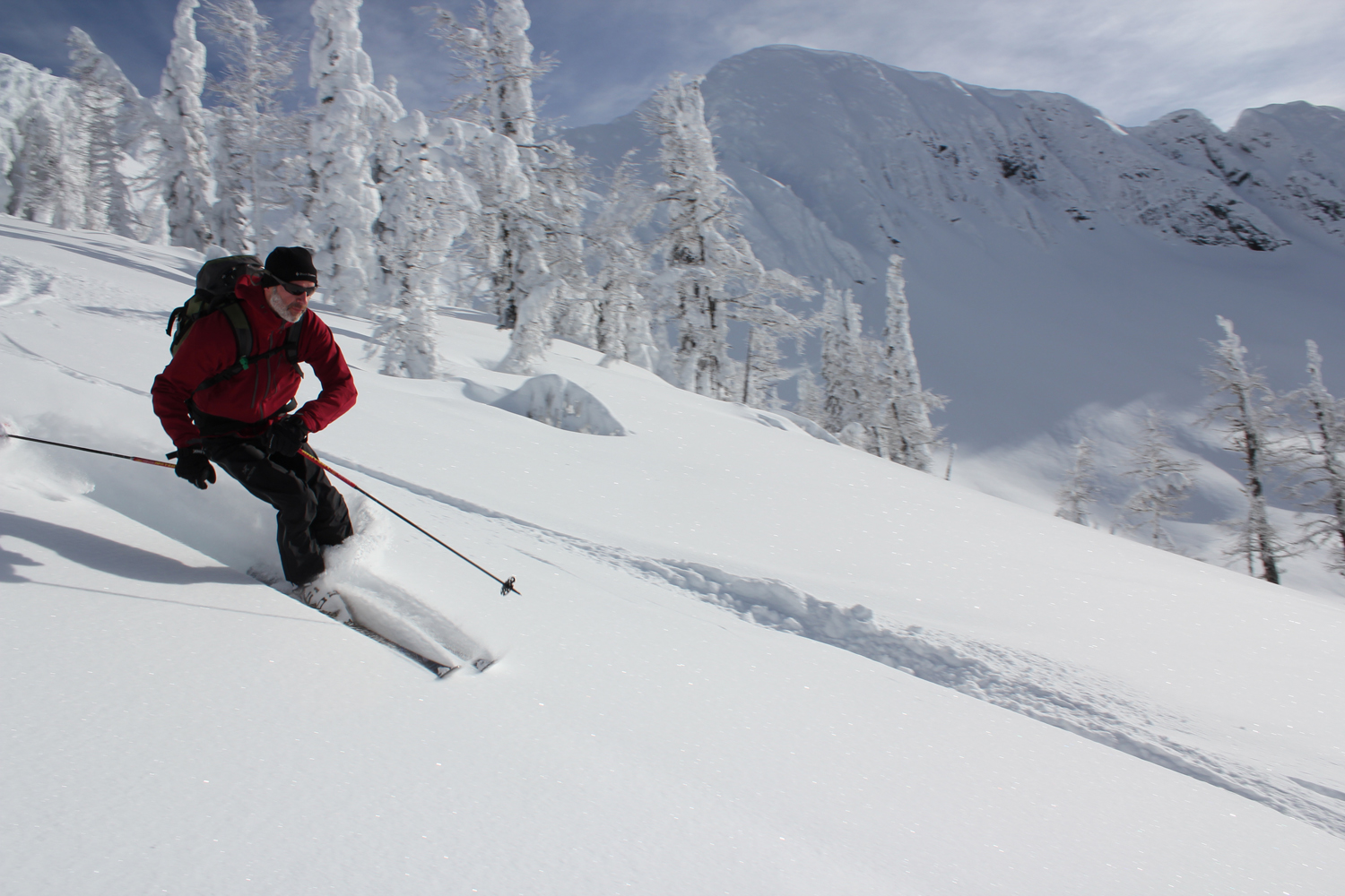
    Overall, the ski quality was very good on the E to NE aspects! 

    Different story on the windward (west) side where things were scoured down to the rocks.  We did, however, managed to find some excellent skiing into the trees on one of our favourite stashes that shall remain secret Wink


    Being the "rockies",  expect the occasional unpleasant surprise, especially around treeline.  Think I'll be throwing my helmet back in my pack again if we don't get some more snow soon!!!


    Not that the local critters seem to mind not having to dig too far for their lunch...


  • 2010-01-26 17:30:01

    Thanks for the post Kevin. You are an excellent story teller! That looks like a nasty gouge out of your ski. Not quite down to the core I hope. Great intel on the Rockies. We need some snow out here in the Interior too by the way. Embarassed

  • 2010-01-26 20:27:23

    Hey Kevin, great intel. 15-20 ski pen is more than we have in the kootenay at the moment, what is the base currently at? just wondering how this winter is stacking up against previous as I am hoping to attempt a ski trip to Mt. Columbia in the spring and wondering how long the glacier and cracks will be covered? Want to go late enough so the storms subside and it warms a bit but not too late.

    Great pics!

  • 2010-01-26 23:59:26

    Thanks!  Ya, I'm pretty impressed the PFD's weren't completely core-shotted.  That was about 240lbs coming down hard and fast on pointy slab of limestone.  A lesser ski would've exploded.  1.5 sticks of p-tex later and they're as good as new!


    Yikes, sorry to hear about the Kootenays.  We're heading to Sol in a few weeks so I hope things improve by then!  In terms of base, I'd call it around 1m of settled snow in the alpine west of the divide in Banff right now.  In terms of coverage on glaciers, dunno, I suspect it's quite variable though.  In most years, conditions on the high glaciers are often good well into May (sometimes June), long after the valleys have gone to hell.  


    Here's a report on the MCR from Mt. Hector.  Not the same area as the Athabasca but possibly gives an idea what's going on up there:


    ——

    Climbed Mt. Hector today (Jan 22) via the north glacier.

    The wind has been hard at work in this area and there seems to be no soft snow left. Hard slabs, soft slabs and scoured earth are the norm. Despite this, we had a great day with very light winds, sunny skies and temperatures in the -15 range. Snow depths on the glacier vary from 20 to 160cm with a few patchs of bare ice showing. Many crevasses are still visible and we made use of a rope on the way up. Crampons and ice axe were helpful for the final summit block. No new avalanches were observed today, but there is evidence of a large cornice failure near the toe of the glacier that looks to be about a week old.

    Have fun out there!

    Jeremy Mackenzie 
    ACMG/IFMGA Mountain Guide 
    ———–


    Check out the MCR here if you're interested.  Always good info on the informalex:

    http://www.acmg.ca/mcr/archives.asp

  • 2010-03-01 17:01:09

    Thanks for that Kevin, good intel.

    That pretty much sounds like Hector any year! I was in there two years ago and it was pretty much the same, also returned with some nice souvenirs on the bases of my skis. You guys must be pros at using P-text out there?Wink