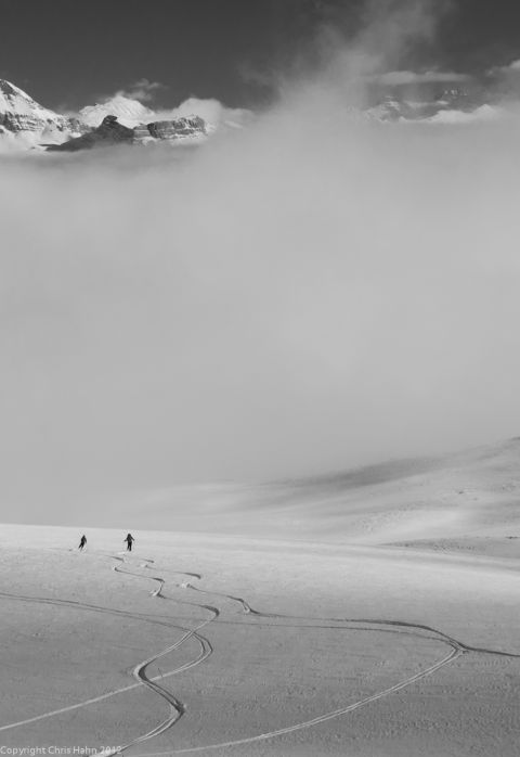
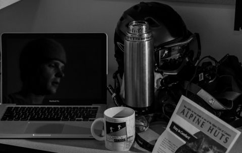
"It sounds like a long slog in, are you sure it’s going to be worth it?" With only four precious vacation days left, it was a fair question. We had all skied Mount Field the day before and the snow was good, but nearby Pope’s peak was a wind blasted nightmare. The difference in conditions across the area left us guessing and hesitant on what we might see twenty kilometers deeper into the same valley. Still, cloudy days were in the forecast and Roger’s Pass looked marginal for once, so our options were quickly dropping off. In the end, unsure of everything, we prepped our glacier gear and repacked our bags, readying for a long ski up to Stanley Mitchell Hut.
Twenty three kilometers carrying rope and questionable quantities of chili under cloudy skies had us all grumbling. The walk seemed endless, viewless and increasingly pointless. It was nearly eight long hours later that we pushed through the final climb and entered the valley; the sun appeared, our spirits rose and the smell of smoke welcomed us home. We settled into the hut, exhausted but hopeful for the days ahead.
I remember waking up that first night, battling the usual urge of a full bladder weighed against the cold outside my sleeping bag. The wine won, and I stumbled outdoors in the dim headlamp light. Up above, there was nothing but stars and a distant moon. The clouds had parted and the coming day looked good. I slipped back into my bed grinning.
The morning came quick and we woke to the clear skies of a bluebird day. The oatmeal tasted fine for once and no one mentioned the bruised hips and sore backs we all shared. A week of warm temps and mild winds had brought good stability, so we set out to the President’s Pass with eyes on the President herself.
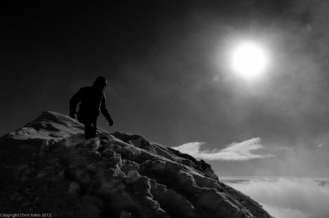
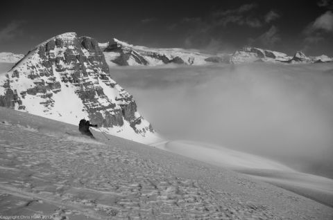
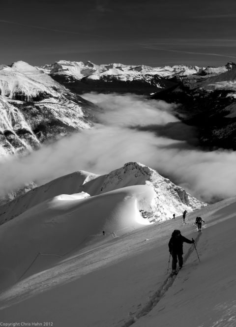
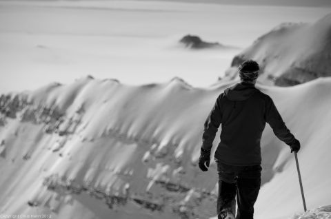
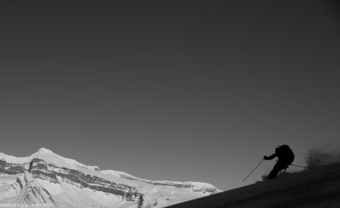
Trail breaking was minimal and the skinning fast under the rising sun. We crested the pass and outside our valley an inversion had spread the clouds seemingly far below. Cameras came out and we ate a long lunch, tracing our planned ascent with bare, sun-warmed fingers. Mount President looked sketchy, draped with wind hardened snow and overhangs of melting cornice. We set our sights on the Vice President instead and booted up with views to the far white panoramas of Wapta, Yoho and the rest. A few laps were skied and we came home, starved and sun-burnt but still smiling.
The next morning brought clouds and doubts. Breakfast lingered as we argued about our options. Should we ski the short tree runs across the cabin or try our luck and head towards Mt.MacArthur? No one seemed to want the responsibility of choice in this weather.
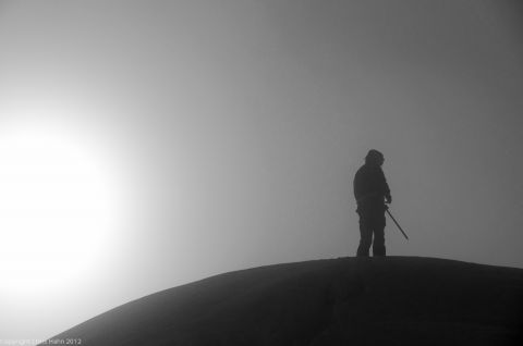
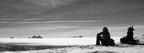
A half-hearted plan was made to ascend into the darkness around MacArthur. Moods were low, conversation was brief and the forest skinning unpleasant with alternating sun-crust and deep facets. Still, we climbed steadily, the views getting less and less with more and more mist. After a time, it seemed a brief glimpse of blue lay ahead. We hurried our steps only to see it fade away before we were ever sure. We plodded on nonetheless, desperate in our hope for the sun. A few hundred slow metres more and the fog finally opened with the mountains and sky appearing suddenly above our packs. The clouds sat low in the valley around us, but MacArthur was clear and blue-white in the distance.
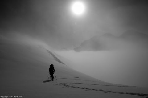
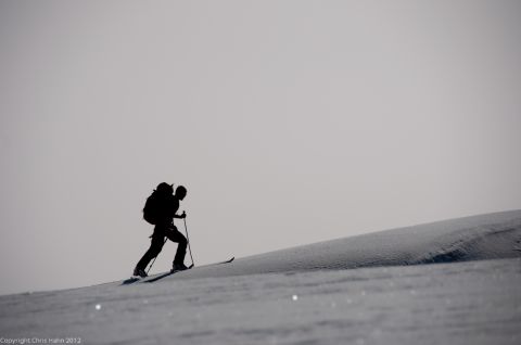
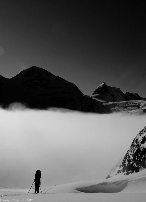
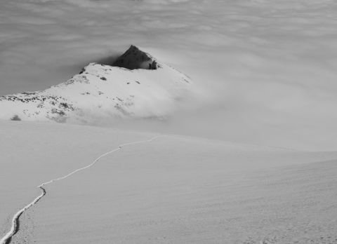
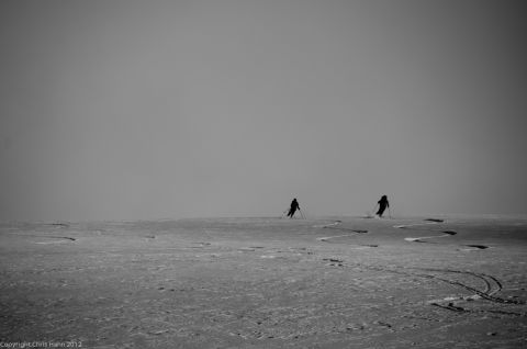
Ropes on, we climbed, shouting and laughing and taking more pictures than seems reasonable now. The summit in reach, we booted up to views from the top of the world. Distant peaks appeared and disappeared around us, bathed in the swirling clouds and golden sun. We descended in the brightness, looping long GS turns down the glacier and returning to our cabin home, twenty three kilometers well spent.