






With all the clear skies we've had lately Vince and I had high hopes of a clear sunny day for our latest mission. Guess we should've known better. The fog seems to follow us around like a hippie looking for change. We arrived at the lower east parking lot around 6am with the no real view of the skies. As we left valley bottom through the woods the stars poked out sporadically giving us faint hope of seeing something today. Upon gaining Rock Ridge Pass our hopes were crushed. Even seeing across the valley was impossible. Oh well, we've got used to this over the past six years! After a quick change over and spot of tea we dropped in for amazing protected pow turns to valley bottom. Mid high five we realized that once again the turns were so much fun we neglected taking some action shots. Damn fun!
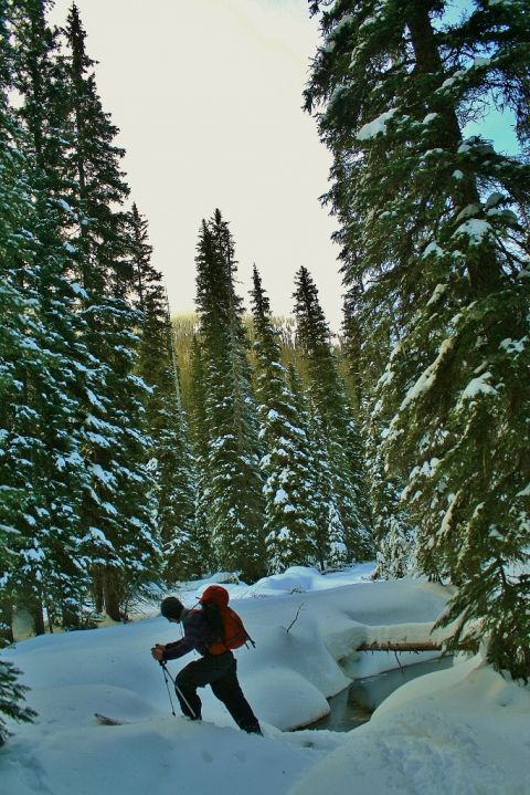
Vince crossing Carolina Creek.
Upon finding a way across Carolina creek we started the climb up to Curtis Pass. Once again the skies showed faint hopes of clearing up before drowning us in grey. From the pass a short descent brought us to Curtis Lake for lunch and some reminiscing over lines we've rode in the past. Then the real slop poured in.
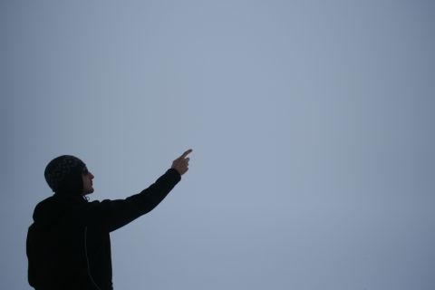
Vince pointing out lines through the slop!
From Curtis lake we headed north maintaining an elevation around 1830m for a few kilometers before making a more direct climb to a saddle between South Sister and a smaller peak to the south. Along the way we spotted what appeared to be a skin track. Whoelse would be back here? Caribou! We never got a chance to seeany of them but seeing there trail was pretty cool. Upon gaining said saddle we actually caught a short glimpse of our intended objective. Following the south ridge to the top, the sky would pop open occasionally and make us smile. Easy ridge travel brought us to the summit around 3:30 with just enough light to negate riding with headlamps. The top was boiler plate but as we descended into the trees the snow became soft and the turns fun.
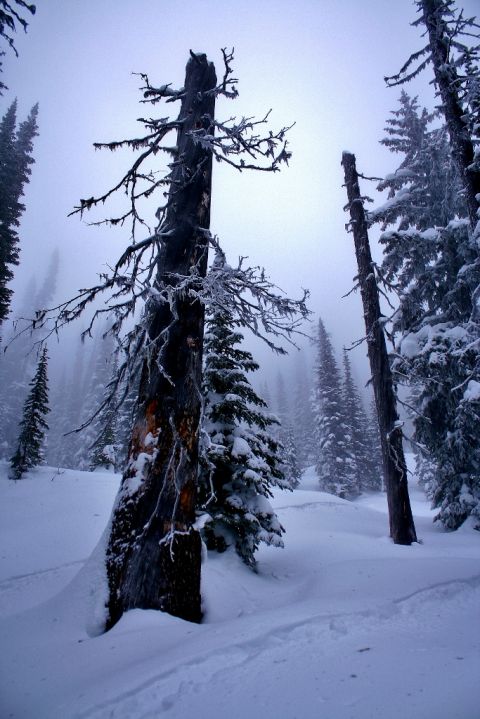
Caribou tracks
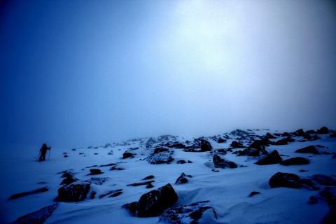
Vince nearing the summit.
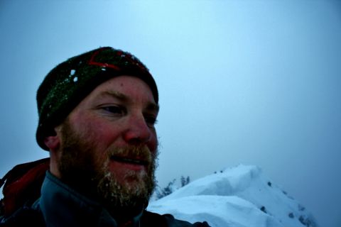
Myself on the Summit of South Sister.
After a snack and a visit with Iris, the headlamps went on and we contoured back to Curtis Lake. As we were climbing up from the lake the skies finally parted and we were rewarded with every star in the sky! A quick change over and strapping on of the high powered head lamps and we were charging through the dark down perfect glades back to Carolina creek.
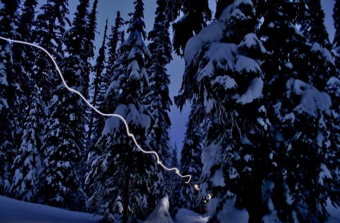
Vince skins so fast he's a streak of light.
Another change over and quick visit with Iris and we pushed up the north slope to Rock Ridge pass once again. After mounting headlamps we charged down the slope popping airs and dodging trees to valley bottom. Damn I love night riding! 14.5 hours after leaving we were finally back at the car.
Once again we managed to negotiate fog and darkness to get our summit. Thanks Vince for being an animal and completing our goal. Three down, twenty four to go!
