

It’s tough to beat a clear starry night spent atop some of the most beautiful mountains in the world. Gwillim Lake has been an all time favorite spot of mine for a few years now, that I think everyone should hike to at least once.
On your way up, you’ll find 2 smaller lakes that have nice camping areas. The hike in total takes about 5 hours, rated as moderate and being 12kms. It’ll take you through forested valleys, across bridges and alongside steep ridges with breathtaking views. 

There are designated camping spots spread about the lake once you reach the top, as well as a washroom, food cache and neat little places to cook and chow down. There also plenty of spots to refill your water. Because it’s a part of the Valhalla Provincial park, dogs are prohibited. Bring a few friends to enjoy the trek with, and always remember to be bear safe!

-
Reviews published since 2009 — updated every season
-
Weekly Episode
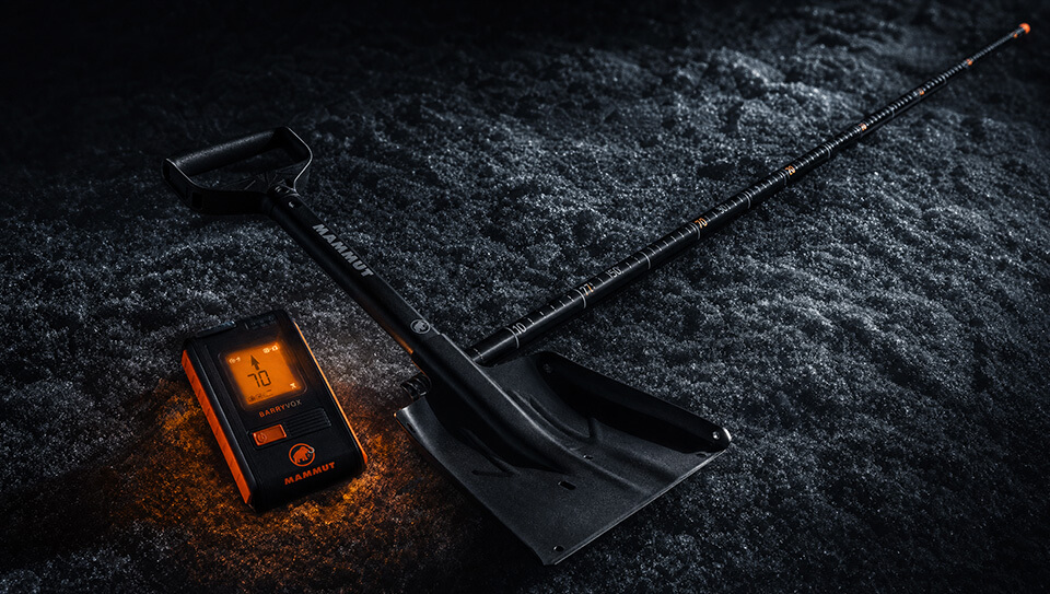
Avalanche Conditions Report
Weekly snowpack summary covering Rogers Pass, the Selkirks and the Canadian Rockies. Published every Friday throughout the season.
Listen Now →
Weekly avalanche & safety updates throughout the season
-
Proprietary Content
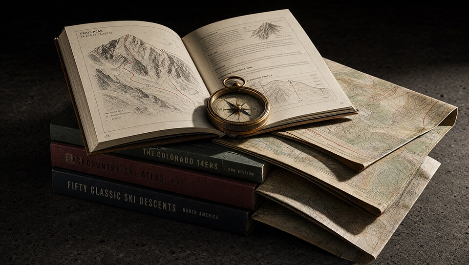
BSC Guide Books & Maps
Researched and written by our team. Printed guides and georeferenced digital maps for Canada's best backcountry terrain.
Shop the Store →
Printed guides + georeferenced digital maps — all authored by BSC
-
-
Know Before You Go
Check Today's Forecast
Real-time avalanche danger ratings updated daily by Avalanche Canada. Always check before heading out.
View Forecast →
Avalanche awareness saves lives
-
Know Before You Go
Check Today's Forecast
Real-time avalanche danger ratings updated daily by Avalanche Canada. Always check before heading out.
View Forecast →
240+ videos — gear reviews, conditions reports & backcountry edits
LOGIN
SITE LOGIN

Gwillim Lake
-
 2014-09-27 00:12:22
