• Weekly avalanche conditions report
    Weekly Episode

    Avalanche Conditions Report

    Weekly snowpack summary covering Rogers Pass, the Selkirks and the Canadian Rockies. Published every Friday throughout the season.

    Listen Now →

    Weekly avalanche & safety updates throughout the season

  • BSC Guide Books
    Proprietary Content

    BSC Guide Books & Maps

    Researched and written by our team. Printed guides and georeferenced digital maps for Canada's best backcountry terrain.

    Shop the Store →

    Printed guides + georeferenced digital maps — all authored by BSC

  • BSC Membership

    Access 300+
    Full Routes

    Subscribe to Backcountry Skiing Canada and unlock complete route descriptions, trailhead details, approach beta, seasonal conditions and linked digital maps — for every route we've documented across Western Canada.

    • 300+ full route descriptions with trailheads, approach notes and descent options
    • Georeferenced digital maps — Gaia GPS and CalTopo compatible
    • ATES-rated and updated each season with current conditions beta
    • Support independent backcountry skiing content since 2009
    Subscribe to BSC Browse free content →

    Route details also available in BSC printed guidebooks

  • Know Before You Go

    Check Today's Forecast

    Real-time avalanche danger ratings updated daily by Avalanche Canada. Always check before heading out.

    View Forecast →

    Avalanche awareness saves lives

  • Know Before You Go

    Check Today's Forecast

    Real-time avalanche danger ratings updated daily by Avalanche Canada. Always check before heading out.

    View Forecast →

    240+ videos — gear reviews, conditions reports & backcountry edits

LOGIN

Enjoy the Shoulder Season at Pilot Bay

  • 2014-11-18 12:42:29

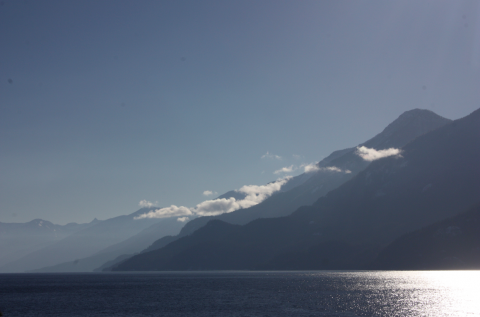
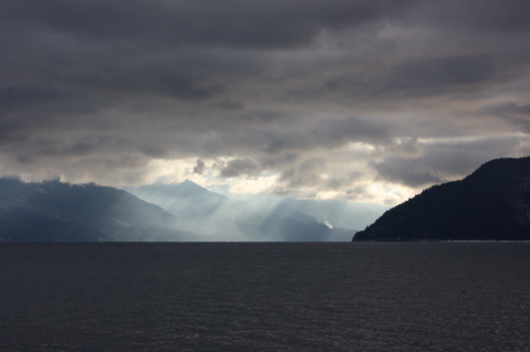
    This is a great hike for November. With the perfect sunny exposure, it stays snow free long after other trails get icy. The mandatory ferry ride from Balfour to Crawford Bay serves up some pretty incredible views. Here are a few pictures from the trip across. My hands turned to ice holding my camera in the freezing cold wind but it was worth it for a bit of mountain magic. 

    To get to the trailhead, turn right immediately after you get off the ferry and you'll find yourself in Pilot Bay Provincial Park. There is a cool lighthouse and viewpoint at the end of the road, and parking for the Pilot Bay trail is on your left just over 3km from the ferry. The trail follows the shoreline of Kootenay Lake the entire way, with lots of lookouts and pebble beaches. This is one of the best lowland hikes around. 
    emily haggar kooteny bay

    emily haggar kootenay bay

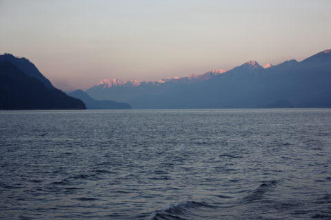
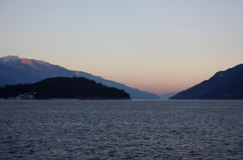
    We had a great day at Pilot Bay (view from the trail, above). The peaks were snow capped, the sun was shining, and the ferry ride back was just as amazing. If you want to catch the sunset, the 3:40 from Crawford Bay is your ticket.
    emily haggar kootenay bay

    emily haggar kootenay bay