



Canadian Avalanche Centre – Public Avalanche Warning Service
BC Avalanche Conditions Update
Northwest BC
A significant storm cycle that produced recent danger ratings of Extreme and High is ending. Avalanche activity is decreasing. A dryer, calmer, colder spell of weather is expected. When it cools down, danger levels will decrease but it might take a few days for the full effect of cooling to be felt. Conservative terrain choices (small, low angle, simple terrain) recommended for the next few days. The CAC’s regional forecast at: http://www.avalanche.ca/cac/bu.....rthwest-bc is updated every day around 4:30 p.m. PST and is a good place to start when assessing current local conditions and planning your trips.
South Coast
Coastal regions are in pretty good shape. Storm snow is settled in and seems pretty well bonded. Farther east, especially in the South Chilcotin (Bridge River/Carpenter Lake/Anderson Lake area), conditions are more like the interior—see below. The CAC’s regional forecast at: http://www.avalanche.ca/cac/bu.....outh-coast is updated every day around 4:30 p.m. PST and is a good place to start when assessing current local conditions and planning your trips.
Interior Regions
A very active period of avalanche activity has now ended. The recent cycle involved both storm snow and deeply buried persistent weak layers. In some places failures were going right to ground, removing the entire snowpack, and destroying large stands of mature timber.
Natural avalanche activity has slowed down significantly and we are now seeing mostly small surface avalanches where a bit of new snow and wind have created localized slabs. However, isolated large deep avalanches continue to occur with both natural and human triggers. Natural large deep avalanches are likely to continue on a random and sporadic basis for the next day or two as very warm temperatures prevail. Cooling temperatures over the weekend starting earlier (perhaps Saturday) in the north and later (probably Sunday or Monday) in the south will likely further reduce or perhaps even stop natural avalanche activity. Increased stability due to cooling will take a couple of days to fully take hold, however and human triggering of deep slabs remains possible.
I continue to be concerned about deep instabilities in the snowpack. We are in what we call a “low probability/high consequence” scenario. In these situations, mother nature doesn’t provide a lot of feedback: weather is good, few or no natural avalanches are occurring, human triggering potential is decreasing—but if you do manage to trigger an avalanche or if you are in the wrong place at the wrong time when a natural slide occurs, there’s a chance it’ll be a big one with serious consequences. The random and isolated nature of potential big avalanches makes difficult to provide specific information about where a problem might exist. Training, experience, and local knowledge are key factors in assessing hazard in these conditions.
The areas I’m most concerned about are:
- North Rockies (north and east of Prince George, north of highway 16 to Mackenzie including areas around Tumbler Ridge, Chetwynd, the Kakwa, and the Selwyn Range near Valemount).
- North Cariboos and North Monashees (immediately south of McBride, immediately west of Valemount and northwest of Blue River).
- The east Selkirks and Purcells (west of Golden, west of Invermere).
- The South Chilcotin Mountains (the area around Bridge River, Carpenter Lake, and Anderson Lake).
There are almost certainly isolated areas in other regions that might be local hotspots: consult with trained, experienced, knowledgeable locals.
My general advice for at least the next few days is:
- Stay away from slopes with large cornices above. Cornices, especially recently formed ones, are very sensitive to temperature changes and will be unstable for several days yet.
- Watch for local areas of windslab: a small avalanche might trigger a larger one.
- Avoid slopes with shallow or variable snowpack: where the surface looks rough and where rocks or trees are showing above or just under the surface.
- Slopes that avalanched big in the last cycle and got a good cleanout are a better bet than slopes where little or no avalanche activity has recently occurred.
- It’s always a good idea to avoid terrain traps but even more so in these conditions, avoid places where deeper burials or greater injury might occur if caught, for example:
- Cliffs
- Trees
- Low ground (gullies, creeks, ravines)
- Rapid transitions from steep to flat (steep slopes running out onto lakes, flat meadows, etc.)
- If in doubt stay on small, low angle, simple terrain.
- Experienced and trained backcountry travellers should use the CAC bulletins at: http://www.avalanche.ca/cac/bu.....ins/latest (updated daily by 4:30 p.m. PST) to get an understanding of the likely problems in your area then obtain local knowledge to assess conditions in the area where you plan to ride and choose appropriate terrain.
Additional measures that are always recommended include:
- Only one person at a time on the slope—no matter what (let your buddy dig himself out!).
- Make sure no one is hanging out below avalanche slopes. Parking, eating lunch, regrouping in the runout zone is a real no-no.
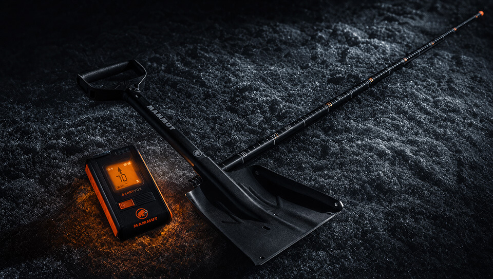
- Ensure everyone has a transceiver, probe, and shovel. Balloon packs may also help reduce the potential for burial. Maintain and test your gear regularly to ensure it will work properly if needed.
- Having the gear is not enough, everyone needs training and must practice regularly to ensure they know what to do if something happens.
Have fun this weekend and stay safe.
Karl Klassen, Public Avalanche Warning Service Manager
Canadian Avalanche Centre
[email protected]
250-837-2141 ext. 227
