• Weekly avalanche conditions report
    Weekly Episode

    Avalanche Conditions Report

    Weekly snowpack summary covering Rogers Pass, the Selkirks and the Canadian Rockies. Published every Friday throughout the season.

    Listen Now →

    Weekly avalanche & safety updates throughout the season

  • BSC Guide Books
    Proprietary Content

    BSC Guide Books & Maps

    Researched and written by our team. Printed guides and georeferenced digital maps for Canada's best backcountry terrain.

    Shop the Store →

    Printed guides + georeferenced digital maps — all authored by BSC

  • BSC Membership

    Access 300+
    Full Routes

    Subscribe to Backcountry Skiing Canada and unlock complete route descriptions, trailhead details, approach beta, seasonal conditions and linked digital maps — for every route we've documented across Western Canada.

    • 300+ full route descriptions with trailheads, approach notes and descent options
    • Georeferenced digital maps — Gaia GPS and CalTopo compatible
    • ATES-rated and updated each season with current conditions beta
    • Support independent backcountry skiing content since 2009
    Subscribe to BSC Browse free content →

    Route details also available in BSC printed guidebooks

  • Know Before You Go

    Check Today's Forecast

    Real-time avalanche danger ratings updated daily by Avalanche Canada. Always check before heading out.

    View Forecast →

    Avalanche awareness saves lives

  • Know Before You Go

    Check Today's Forecast

    Real-time avalanche danger ratings updated daily by Avalanche Canada. Always check before heading out.

    View Forecast →

    240+ videos — gear reviews, conditions reports & backcountry edits

LOGIN

TRAIL REPORT: Garibaldi Lake, Whistler May 28, 2013

  • 2013-05-28 10:23:44

    I went up to Garibaldi Lake on Sunday afternoon for a beautiful hike. There are a few ways to get here, but I went up the Rubble Creek side from hwy 99, south of Whistler.

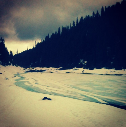
    There is snow from km5 to the campground at km9.5 and the lakes are all still frozen. The majority of people I saw on this trail were seriously unprepared for winter conditions. If you're heading up, take your hiking boots, and warm clothes! I carried my snowshoes for the whole 20km round trip but didn't use them, as there are so many stairs kicked into the trail and uneven snow.

    This is a popular ski touring area - if you head up higher you get to Taylor Meadows and the Black Tusk - so the trail is hard packed. I did see one person coming back from a mountaineering trip with his crampons on for the hike down. The trail is a little slippery from foot traffic.

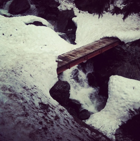
    The bridges are melting out now - see below.
    emily haggar 15

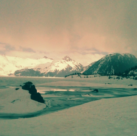
    Here are a few pics - it was raining but still so beautiful.
    emily haggar 16

    emily haggar 17

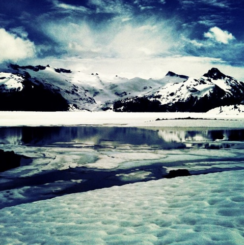
    ... And one from last year around this time, when it was sunny -
    emily haggar 18