




• Weekly avalanche conditions report
    Weekly Episode

    Avalanche Conditions Report

    Weekly snowpack summary covering Rogers Pass, the Selkirks and the Canadian Rockies. Published every Friday throughout the season.

    Listen Now →

    Weekly avalanche & safety updates throughout the season

  • BSC Guide Books
    Proprietary Content

    BSC Guide Books & Maps

    Researched and written by our team. Printed guides and georeferenced digital maps for Canada's best backcountry terrain.

    Shop the Store →

    Printed guides + georeferenced digital maps — all authored by BSC

  • BSC Membership

    Access 300+
    Full Routes

    Subscribe to Backcountry Skiing Canada and unlock complete route descriptions, trailhead details, approach beta, seasonal conditions and linked digital maps — for every route we've documented across Western Canada.

    • 300+ full route descriptions with trailheads, approach notes and descent options
    • Georeferenced digital maps — Gaia GPS and CalTopo compatible
    • ATES-rated and updated each season with current conditions beta
    • Support independent backcountry skiing content since 2009
    Subscribe to BSC Browse free content →

    Route details also available in BSC printed guidebooks

  • Know Before You Go

    Check Today's Forecast

    Real-time avalanche danger ratings updated daily by Avalanche Canada. Always check before heading out.

    View Forecast →

    Avalanche awareness saves lives

  • Know Before You Go

    Check Today's Forecast

    Real-time avalanche danger ratings updated daily by Avalanche Canada. Always check before heading out.

    View Forecast →

    240+ videos — gear reviews, conditions reports & backcountry edits

LOGIN

Kicking off Summer on Mt Currie

  • 2014-06-24 11:02:45

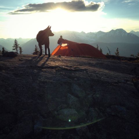
    To celebrate the summer solstice, we decided to pack up our gear and go up to Mt Currie for the night. We'd hiked up the new Mt Currie trail a few times this spring, turning around at the snow line, but this visit we went all the way up to the end of the trail where there's a great view of the Pemberton valley.

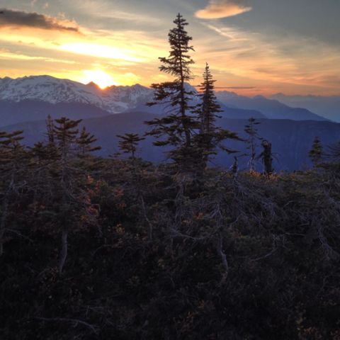
    Looking skyward behind us at one of the sub peaks that face Pemberton, we decided that the good camping was an hour's bushwack up still, and off we went. If you are looking at Mt Currie from Pemberton, you'll see the Y Chute off to the right, then a roundish shoulder further right. This is approximately where we ended up, with perfect views all the way from Black Tusk + Tantalus, to all the mountains around Pemberton and the Hurley Rd and Joffre to the north.
    emily haggar mt currie june 01

    The longest day of the year comes with the shortest night of the year. After taking in an epic sunset on the shoulder of Mt Currie, we settled into our down mats and down bags for a little less than 6 hours of darkness. An incredible sunrise showed up the next morning, and I did not want to go home.

    Our truck was the only one at the trail head. I guess everyone else was in the zoo of activity for the Whistler Tough Mudder. On the short 10 minute drive on hwy 99 before turning onto the logging road we passed 56 road bikers. It was kind of a treat to kick off the first day of summer in total peace + quiet.
    emily haggar mt currie june 01