• Weekly avalanche conditions report
    Weekly Episode

    Avalanche Conditions Report

    Weekly snowpack summary covering Rogers Pass, the Selkirks and the Canadian Rockies. Published every Friday throughout the season.

    Listen Now →

    Weekly avalanche & safety updates throughout the season

  • BSC Guide Books
    Proprietary Content

    BSC Guide Books & Maps

    Researched and written by our team. Printed guides and georeferenced digital maps for Canada's best backcountry terrain.

    Shop the Store →

    Printed guides + georeferenced digital maps — all authored by BSC

  • BSC Membership

    Access 300+
    Full Routes

    Subscribe to Backcountry Skiing Canada and unlock complete route descriptions, trailhead details, approach beta, seasonal conditions and linked digital maps — for every route we've documented across Western Canada.

    • 300+ full route descriptions with trailheads, approach notes and descent options
    • Georeferenced digital maps — Gaia GPS and CalTopo compatible
    • ATES-rated and updated each season with current conditions beta
    • Support independent backcountry skiing content since 2009
    Subscribe to BSC Browse free content →

    Route details also available in BSC printed guidebooks

  • Know Before You Go

    Check Today's Forecast

    Real-time avalanche danger ratings updated daily by Avalanche Canada. Always check before heading out.

    View Forecast →

    Avalanche awareness saves lives

  • Know Before You Go

    Check Today's Forecast

    Real-time avalanche danger ratings updated daily by Avalanche Canada. Always check before heading out.

    View Forecast →

    240+ videos — gear reviews, conditions reports & backcountry edits

Finding a Little Snow at Cerise Creek

  • 2013-12-03 11:35:56

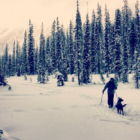
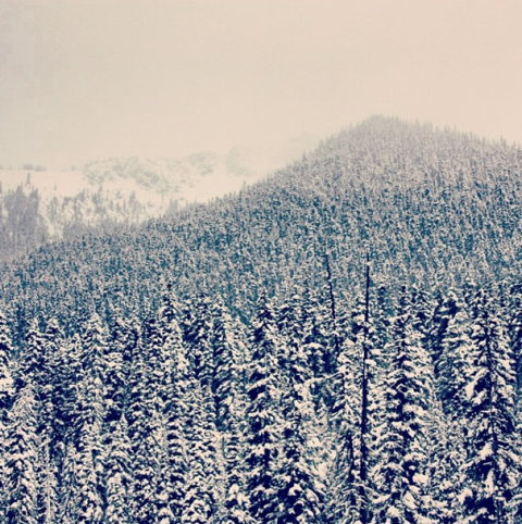
    It's been a slower start to ski season this year than last year. We decided to head out in search of some snow on the Duffy Lake Road. The highest point on the road still has very little coverage - a foot or less in the forest - so everything is exposed, making for a huge obstacle course on the way down.

    This is near Cerise Creek, about an hour and a half up, where the snow starts to get a little better.

    emily haggar

    emily haggar

    emily haggar

    Anyone else found some good spots around Whistler lately?


  • 2013-12-04 15:58:50

    I was up there yesterday, super thin coverage.  Were you actually able to ski down anything?
  • 2013-12-04 16:12:39

    Mike skied all the way right down to the road but it was a major obstacle course!!! Tree trunks, exposed rocks, fallen trees, all kinds of stuff in the way. I am not sure how he did it.

    Up higher it was better, but really low snowpack this year so far. We went out mostly just to get on the skis for some exercise.

    Did you find some deeper snow anywhere?

  • 2013-12-04 16:15:36

    Hey is this John P as in my WFR instructor, Squamish?
  • 2013-12-04 19:54:22

    Yes it is, I thought that might be you!  I enjoy all your posts.  Hope you are healing up well.

    Shelley and I basically went out for a walk on our skis.  We were able to ski right from/to the parking lot but it was pretty sketchy everywhere.  I haven't been up there this early before but it seems like a slow start this year.  I am in town for the CAA L2 course.

    Cheers!

  • 2013-12-04 20:09:01

    Thanks for reading them! I write every Tues and do gear reviews for BSC. It's a super slow start.. I was just looking at my photos from last Dec and there was fluffy pow everywhere! Lots of people are still riding the bike trails here in Pemberton. Say hi to Shelley for me! Hope everything is going well for you both!