• Weekly avalanche conditions report
    Weekly Episode

    Avalanche Conditions Report

    Weekly snowpack summary covering Rogers Pass, the Selkirks and the Canadian Rockies. Published every Friday throughout the season.

    Listen Now →

    Weekly avalanche & safety updates throughout the season

  • BSC Guide Books
    Proprietary Content

    BSC Guide Books & Maps

    Researched and written by our team. Printed guides and georeferenced digital maps for Canada's best backcountry terrain.

    Shop the Store →

    Printed guides + georeferenced digital maps — all authored by BSC

  • BSC Membership

    Access 300+
    Full Routes

    Subscribe to Backcountry Skiing Canada and unlock complete route descriptions, trailhead details, approach beta, seasonal conditions and linked digital maps — for every route we've documented across Western Canada.

    • 300+ full route descriptions with trailheads, approach notes and descent options
    • Georeferenced digital maps — Gaia GPS and CalTopo compatible
    • ATES-rated and updated each season with current conditions beta
    • Support independent backcountry skiing content since 2009
    Subscribe to BSC Browse free content →

    Route details also available in BSC printed guidebooks

  • Know Before You Go

    Check Today's Forecast

    Real-time avalanche danger ratings updated daily by Avalanche Canada. Always check before heading out.

    View Forecast →

    Avalanche awareness saves lives

  • Know Before You Go

    Check Today's Forecast

    Real-time avalanche danger ratings updated daily by Avalanche Canada. Always check before heading out.

    View Forecast →

    240+ videos — gear reviews, conditions reports & backcountry edits

LOGIN

Five Mile Basin: 1-2-2011

  • 2011-01-07 22:52:18

    What a great way to kick off 2011.  This was our second time to Nelson this season, our first being a break in tour of Evening Ridge.  Five Mile Basin is a classic day tour, with enough options to keep one busy for a weekend.  


    Condition Report:  irrelevant given my untimely posting and the 35cm of recent snow in the area.  So we will stick with a couple of pics.
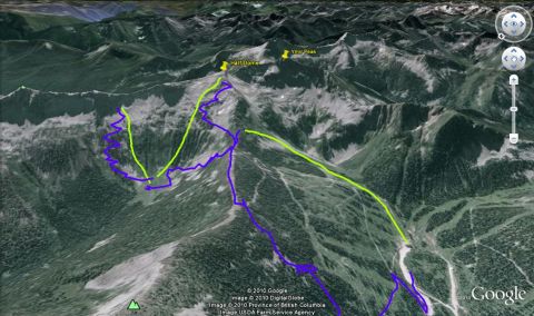

    Tour of Five Mile Basin

    GPS tracks

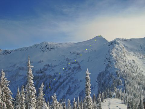
    Line from Half Dome

    Our approx line from the summit of Half Dome
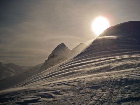
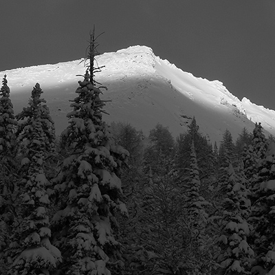
    Perfect timing (summit of Half Dome)
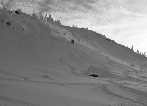
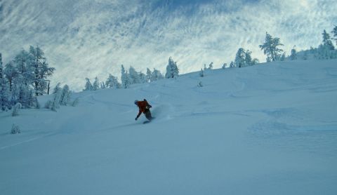
    Kristin enjoying the goods
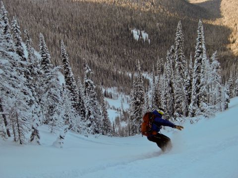
    first to run this chute in 2011 :) - glad to stumple upon this one
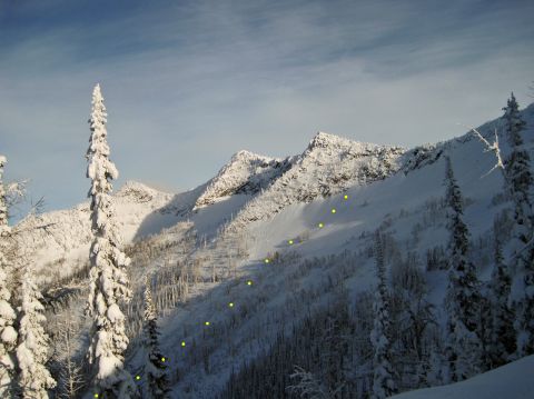
    Our next line
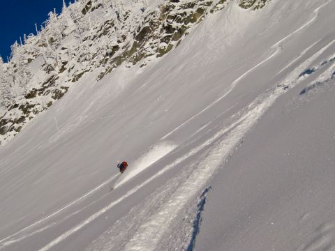
    beginning of our 2nd line
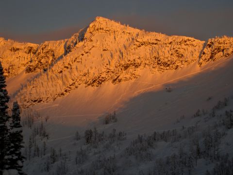
    our lines at sunset
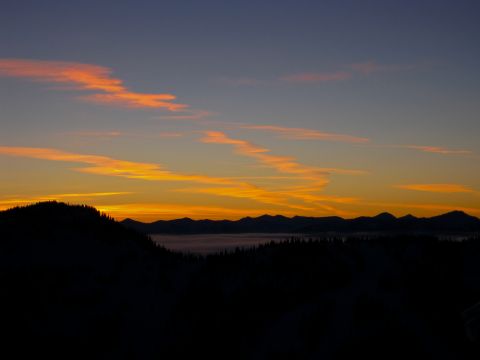
    Bonnington's at sunset:)


    cant wait for next weekend

  • 2011-01-08 00:21:55

    5mile is always a great place to be when stability is right and judging by the photos the conditions were pretty primo. The Google Earth map was pretty slick - was that a GPS overlay of your route?

    Do those things track time and vert as well?

    great post thanks for the details - we could use one of those for all the routes on this site - keep 'em comin'.

  • Online
    2011-01-08 01:13:31

    Incredible pics - you should really consider submitting these to our photo comp - check out the rules here.


    Keep 'em comin'

  • 2011-01-08 12:40:32

    Snosnob: Google Earth Overlay. Those are true gps tracks for the skin up. The yellow lines are approximates of the line down. And I do have stats as well. It was 8 miles RT, with just shy of 6000' each way. Time i believe was 6-7 hours.
  • 2011-01-08 16:30:02


    Click Here for more