




• Weekly avalanche conditions report
    Weekly Episode

    Avalanche Conditions Report

    Weekly snowpack summary covering Rogers Pass, the Selkirks and the Canadian Rockies. Published every Friday throughout the season.

    Listen Now →

    Weekly avalanche & safety updates throughout the season

  • BSC Guide Books
    Proprietary Content

    BSC Guide Books & Maps

    Researched and written by our team. Printed guides and georeferenced digital maps for Canada's best backcountry terrain.

    Shop the Store →

    Printed guides + georeferenced digital maps — all authored by BSC

  • BSC Membership

    Access 300+
    Full Routes

    Subscribe to Backcountry Skiing Canada and unlock complete route descriptions, trailhead details, approach beta, seasonal conditions and linked digital maps — for every route we've documented across Western Canada.

    • 300+ full route descriptions with trailheads, approach notes and descent options
    • Georeferenced digital maps — Gaia GPS and CalTopo compatible
    • ATES-rated and updated each season with current conditions beta
    • Support independent backcountry skiing content since 2009
    Subscribe to BSC Browse free content →

    Route details also available in BSC printed guidebooks

  • Know Before You Go

    Check Today's Forecast

    Real-time avalanche danger ratings updated daily by Avalanche Canada. Always check before heading out.

    View Forecast →

    Avalanche awareness saves lives

  • Know Before You Go

    Check Today's Forecast

    Real-time avalanche danger ratings updated daily by Avalanche Canada. Always check before heading out.

    View Forecast →

    240+ videos — gear reviews, conditions reports & backcountry edits

LOGIN

Evening Ridge at Whitewater - Conditions

  • 2010-12-13 00:21:38

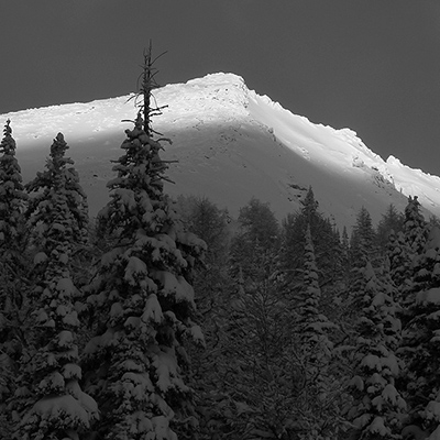
    That classic winter Pineapple Express was in full force today and bought up to 20cm of new snow to the backcountry surrounding Whitewater with moderate snow and some wind on ridge lines throughout the day.

    Touring up Evening Ridge we encountered tree bombs as things warmed through the day and woomphing at the ridge line. We decided to dig a pit to see what was going on and found the height of snow to be 145cm on the north lee aspect. The snowpack in the pit told the following:
    - 50cm down there was a layer of buried surface hoar
    - 70cm down we encountered a small layer of facets and the sun crust from earlier this month
    -  115cm down we ran into the November rain crust with depth hoar to ground

    Things were failing at the weak layer 70cm down so we decided to take things easy and stay on safer terrain as the snow pack was taking on extra weight from the storm snow and it is still early season skiing with several natural obstacles to be found.

    All this snow is packing some moisture (lighter on the ridge tops) but if we bide our time it will be a good thing for the snow pack as it is coming in with little wind so far and will ultimately settle nicely to firm things up considerably.

    The skiing was best just below the ridge line as it was sheltered from the winds, the slabs were minimal, and the snow quality still light however the farther down the mountain you skied the heavier it got. A mixed bag really, but this time of year we are in need of more snow to build the base so it is a welcome sight.

    Evening Ridge Whitewater Backcountry Skiing

    The CAA Avi Report for the region is calling for continued warm conditions but temps getting a bit more seasonal and continued snow - with up to 30cm forecasted for late Monday and into Tuesday. Naturally the Avi Rating is forecasted to go to high in the alpine and at tree line, for the full report have a read here.

    Get informed before you head out and be safe.