

Cody Townsend is joined by legendary rock climber and free soloist Alex Honnold to attempt to link together the lowest spot in North America, Badwater Basin (-282' below sea level) with the highest spot in the continental United States, Mt. Whitney (14,505' above sea level) via a 135 mile bike ride linked to a climb and ski of the Mountaineers Route on Mt. Whitney. Sufferfest, much?
More great content from Mr. Townsend and his team. Five Stars.
-
Reviews published since 2009 — updated every season
-
Weekly Episode
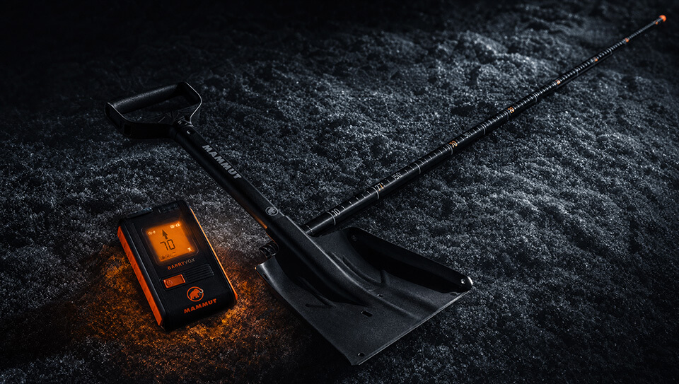
Avalanche Conditions Report
Weekly snowpack summary covering Rogers Pass, the Selkirks and the Canadian Rockies. Published every Friday throughout the season.
Listen Now →
Weekly avalanche & safety updates throughout the season
-
Proprietary Content
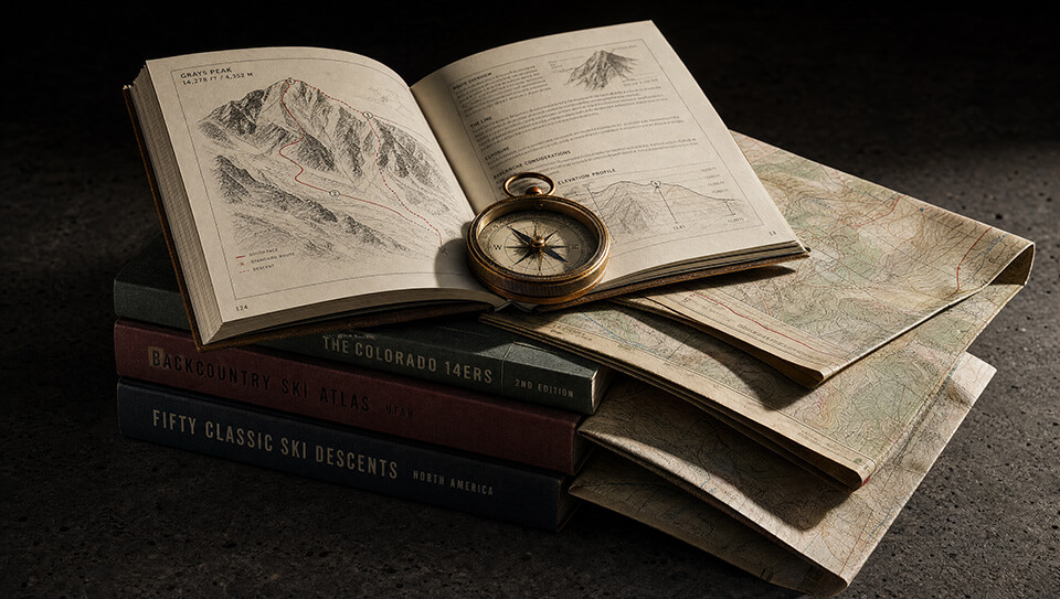
BSC Guide Books & Maps
Researched and written by our team. Printed guides and georeferenced digital maps for Canada's best backcountry terrain.
Shop the Store →
Printed guides + georeferenced digital maps — all authored by BSC
-
-
Know Before You Go
Check Today's Forecast
Real-time avalanche danger ratings updated daily by Avalanche Canada. Always check before heading out.
View Forecast →
Avalanche awareness saves lives
-
Know Before You Go
Check Today's Forecast
Real-time avalanche danger ratings updated daily by Avalanche Canada. Always check before heading out.
View Forecast →
240+ videos — gear reviews, conditions reports & backcountry edits
Badwater to Whitney with The Fifty. Video.
-
 2021-11-04 08:37:53
