




Special Avalanche Warning Issued for Mountainous Areas of BC Interior
Many popular backcountry skiing and snowmobiling areas included in warning
Jan 14, 2010, Revelstoke, BC: The Canadian Avalanche Centre (CAC) is issuing a Special Avalanche Warning for the Northern Rockies, the Cariboos, Eastern Monashees, the Selkirk Mountains and the Purcell Range. This widespread warning applies to many popular backcountry destinations, including those accessed from Tumbler Ridge and Fort Saint John, McBride and Valemount, Blue River, Wells and Williams Lake, Clearwater, Revelstoke, Nakusp and Invermere. The warning is in place from Friday, January 15 through Sunday, January 17.
The avalanche danger in most of these areas has recently been rated “HIGH” , and there has been a widespread avalanche cycle. Avalanche activity is slowly decreasing but the risk of large destructive avalanches remains significant.
“The number of avalanches occurring naturally, without an obvious trigger, is starting to taper off,” explains Karl Klassen, Public Avalanche Bulletins Manager at the Canadian Avalanche Centre. “However, there are still several weak layers in the snowpack that can easily be triggered by the weight of a person on skis or snowmobile. Those avalanches will likely be much larger and more destructive than what we were seeing only a few days ago.”
The CAC urges all backcountry travelers to stay on low angle, simple terrain during this warning period. Conditions are not expected to improve until next week after several days of cooler weather will begin to stabilize the snowpack.
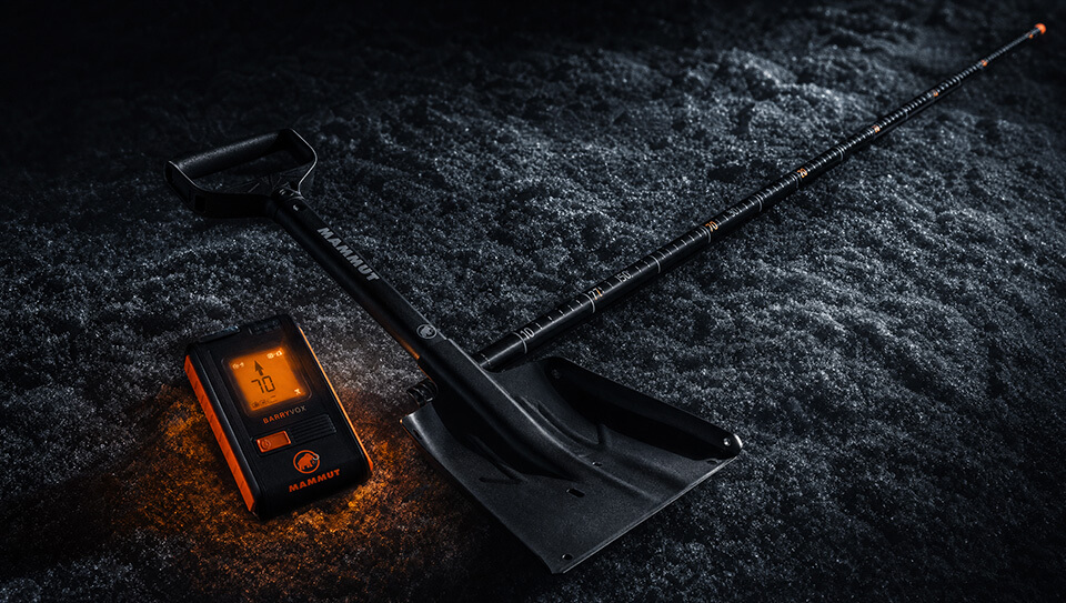
Everyone in a backcountry party needs to be equipped with shovel, probe and transceiver and the CAC strongly recommends that all backcountry users take an avalanche awareness course. Snowpack stability changes constantly throughout the winter; backcountry users need to check the avalanche bulletin regularly to keep informed of conditions in their area. Avalanche bulletins are can be found at http://www.avalanche.ca.
For more information contact: Karl Klassen, Public Avalanche Bulletins Manager Canadian Avalanche Centre 250-837-2141 ext. 227 or 250-814-3756
