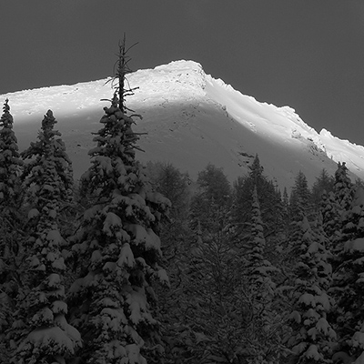






Over the last few days, we’ve been getting emails and calls about large avalanche occurrences. In some cases, these slides have been rated size 4 or larger and are creating new (or at least new to us) avalanche paths by cleaning out many hectares of mature timber.
The really big ones are failing at or near the ground or in very old, deep persistent weak layers from earlier in the winter. They are occurring on northerly aspects and at mid and upper elevations where start zones are just now reaching criticality in terms of warming, melting, and perhaps loading due to rainfall. In numerous instances these slides have started from ridgetop in the alpine and have run into dry valley bottoms where the snow is long gone.
There are several cases where people have been trapped when they drive up a dry road in the morning then come back in the afternoon to find 10s of metres and thousands of tonnes of snow covering the road, often with lots of mature timber on or embedded in the debris. In one place the slide ran across the valley bottom where it hit the road on the other side after climbing uphill. This one was completely covered with trees, making the snow almost invisible underneath.
At the moment, most of the activity that’s been reported to us has been in the Purcells and the Kootenay-Boundary regions, especially in areas where the snowpack is somewhat shallow or variable in depth. However, I would not be surprised if this kind of thing is happening in other ranges and we’re just not hearing about it. I think anywhere in the Rockies or Interior Mountains is suspect and likely also parts of the coastal mountains, I’m thinking inland areas with shallower snowpacks and cooler climates for example.
While not unusual in spring, this kind of activity may catch you by surprise if you are unaware of the potential magnitude of spring avalanches. When the pack is not freezing up, and especially when it’s raining, we tend to get these very large and quite unpredictable events.
My advice is to not expose yourself to avalanche paths right now, even in dry valley bottoms. I’d be extremely careful until temperatures cool off and we return to a more predictable melt-freeze cycle; that is, the snow freezes solid overnight and is relatively stable in the morning, then conditions deteriorate predictably as afternoon temperatures and warming melt the upper layers into wet, slushy snow.
General advice can be found in the CAC Forecasters Blog titled “Spring Conditions” and on the regional forecast pages. Some of our partners (National Parks, Kananaskis Country, and Whistler Blackcomb) are still publishing bulletins so you should check those for current information.
I’m trying to get some photos of recent events to illustrate the problem and will post again if I get something. You can also check this recent incident report to see a description and some photos.
If you have information, photos, or a story to tell please consider posting an incident report or sending me a note.
Karl Klassen – Manager
Public Avalanche Warning Service
Canadian Avalanche Centre
[email protected]