• Weekly avalanche conditions report
    Weekly Episode

    Avalanche Conditions Report

    Weekly snowpack summary covering Rogers Pass, the Selkirks and the Canadian Rockies. Published every Friday throughout the season.

    Listen Now →

    Weekly avalanche & safety updates throughout the season

  • BSC Guide Books
    Proprietary Content

    BSC Guide Books & Maps

    Researched and written by our team. Printed guides and georeferenced digital maps for Canada's best backcountry terrain.

    Shop the Store →

    Printed guides + georeferenced digital maps — all authored by BSC

  • BSC Membership

    Access 300+
    Full Routes

    Subscribe to Backcountry Skiing Canada and unlock complete route descriptions, trailhead details, approach beta, seasonal conditions and linked digital maps — for every route we've documented across Western Canada.

    • 300+ full route descriptions with trailheads, approach notes and descent options
    • Georeferenced digital maps — Gaia GPS and CalTopo compatible
    • ATES-rated and updated each season with current conditions beta
    • Support independent backcountry skiing content since 2009
    Subscribe to BSC Browse free content →

    Route details also available in BSC printed guidebooks

  • Know Before You Go

    Check Today's Forecast

    Real-time avalanche danger ratings updated daily by Avalanche Canada. Always check before heading out.

    View Forecast →

    Avalanche awareness saves lives

  • Know Before You Go

    Check Today's Forecast

    Real-time avalanche danger ratings updated daily by Avalanche Canada. Always check before heading out.

    View Forecast →

    240+ videos — gear reviews, conditions reports & backcountry edits

LOGIN

Evans Creek Trail

  • 2014-07-05 04:27:44
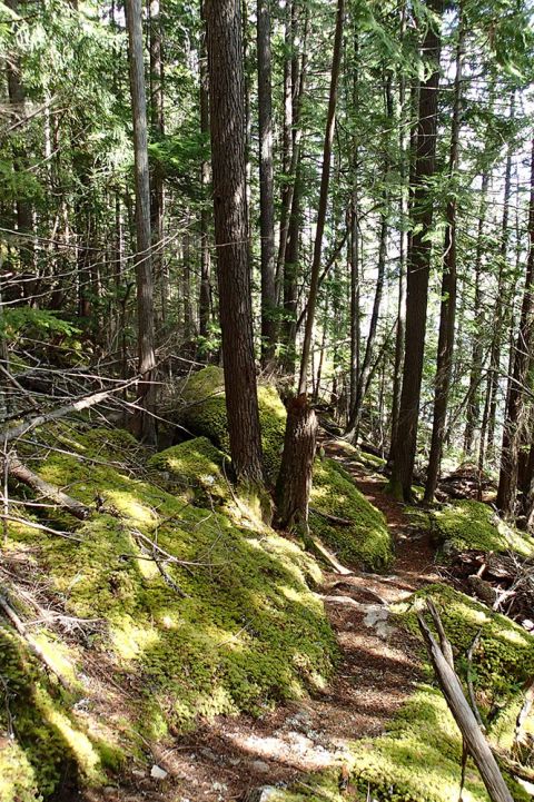
    The Evans Creek trail keeps you working hard but never gets too steep even for the newest of beginners. There’s designated parking just before the Slocan bridge. Cross by foot and turn right. this gravel road will lead you into the forest where the trail takes over.


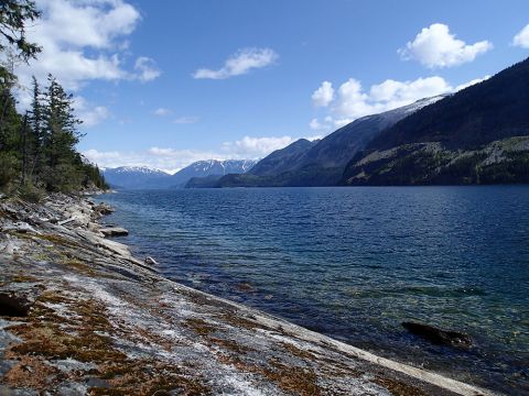
    It’s dog friendly, but make sure your pup can manage the round trip of 14kms before bringing them. The trail follows alongside the lake making for beautiful views. About halfway you can break at Pebble beach and refill your water if needed.     
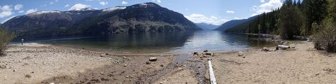


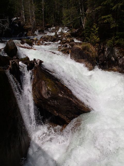
    The trail then heads upwards and eventually brings you to another much bigger beach. Here you’ll find a bathroom, food cache and picnic tables. A little higher up is a rushing waterfall that you won’t want to miss. go any further though, and you’re starting a whole new hike up to Emerald Lake!