



Earning Solitude at Lake McArthur as Winter Creeps Over the Divide
Backcountry Skiing Canada
A self-propelled push into Lake McArthur delivers pure alpine solitude and golden larches along the Great Divide.
Every autumn across the Canadian Rockies, the onset of golden needles triggers what locals know as the "Larch March Madness." Trailheads along the Bow Valley and Moraine Lake swell with bumper-to-bumper convoys, and popular tracks like Larch Valley transform into single-file processions. For backcountry enthusiasts seeking quiet lines and early-season alpine solitude, following the herd isn't the objective.
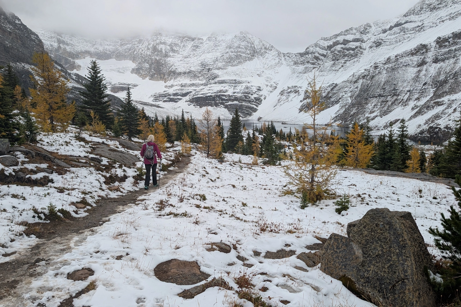
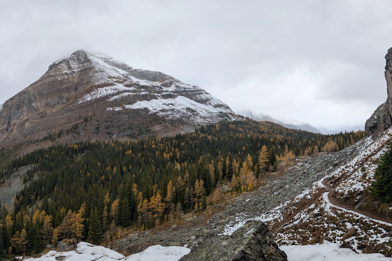
A lone hiker navigates the transition trail toward Lake McArthur. Subalpine larch (Larix lyallii) blaze gold against dusting snow, with hanging glaciers clinging to the headwall behind.
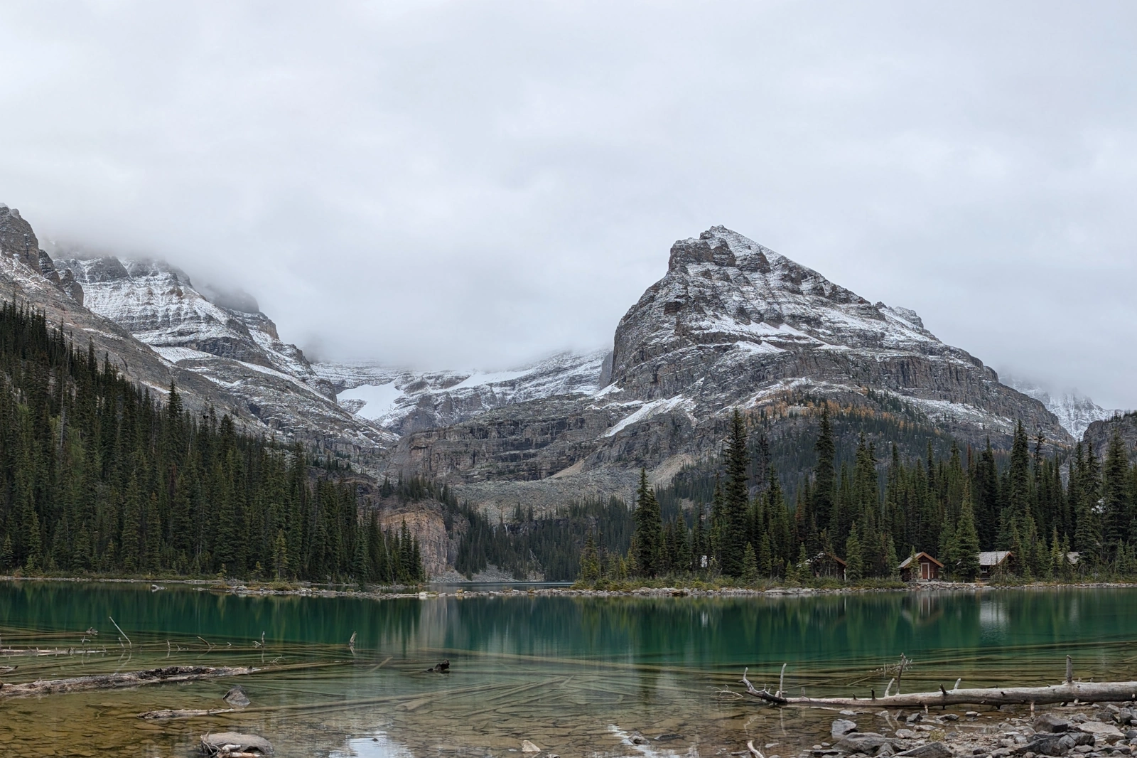
Just across the Continental Divide in Yoho National Park lies Lake O’Hara—a storied subalpine sanctuary renowned for world-class ski touring access in winter and regulated visitor limits in summer. While scoring a seat on the Parks Canada access bus during peak season usually requires lottery luck, the backcountry rules of engagement remain unchanged: access is open to anyone willing to put in the footwork.
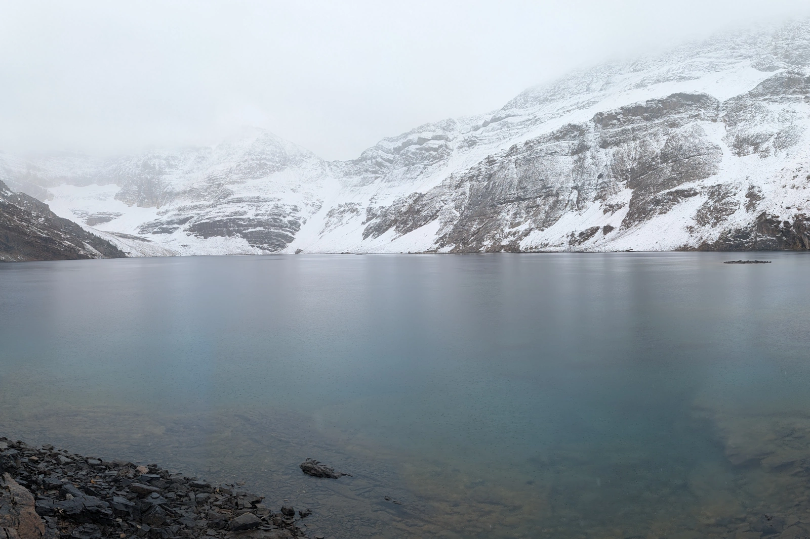
By taking on the roughly paved 11-kilometre fire road on foot, earning the 400 metres of vertical up to Lake O'Hara takes two to three hours of steady pacing. While the road itself is utilitarian, the reward lies beyond. Another 5 kilometres and 400 metres of elevation gain push past Lake Schaffer into the transitional alpine zone, leading directly to the cirque of Lake McArthur at 2,250 metres.
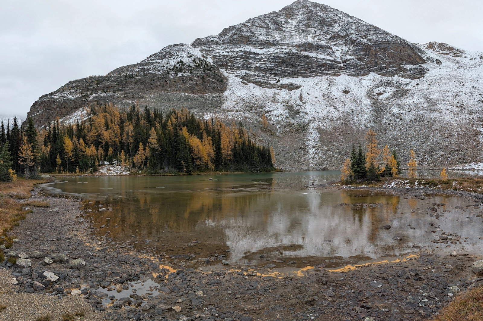
During the final operational weekend of the access shuttle in early October, fresh dusting coats the scree and autumn gold collides with early winter snowpacks—a stark reminder of the imminent shift to skin tracks and ski crampons.
Route Logistics: Beating the Crowds via Self-Propulsion
Total Distance: Approximately 31 km round trip purely on foot (11 km road + 4 km/5 km trail each way), or roughly 21 km if catching an empty outgoing bus seat ($15 cash, first-come, first-served at the Le Relais shelter).
Total Elevation Gain: ~800 m cumulative (400 m along the road approach, 400 m from Lake O’Hara up through McArthur Pass / High Level route).
Terrain & Elevation: Transition from montane spruce-fir forest to fragile subalpine meadows and exposed scree benches at 2,250 m.
Shoulder-Season Safety Note: Early October brings mixed conditions across the Rockies. Shaded trail sections around Schaffer and McArthur quickly ice over, demanding microspikes or traction devices, windproof layering, headlamps for the road walk, and active bear awareness during the pre-hibernation hyperphagia phase.